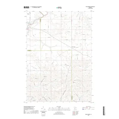
2018 Map of Four Corners
USGS Topo · Published 2018About this map
The Black River sweeps through the northwest corner of this region where Jackson, Monroe, and La Crosse counties meet. This 2018 survey documents a landscape defined by deeply carved coulees and high ridges, including Twin Peaks and Hippler Hill. Small settlements and farmsteads are concentrated along valley floors like German Valley and Browns Valley, while the crossroads at Four Corners marks a central point of navigation for the upland plateaus.
Find a feature on this map
63 named features on this map. Tap any name to fly to it.
Don’t see what you’re looking for? This feature index may not catch every label — zoom into the map to look around manually.
Map Details
Editions of this 2018 Four Corners Map
This is the sole edition of this map. No revisions or reprints were ever made.
Other maps of this area

1909 · Sparta
USGS Topo · 1:62,500

1926 · North Bend
USGS Topo · 1:62,500

1927 · La Crosse
USGS Topo · 1:62,500

1928 · Melrose
USGS Topo · 1:48,000

1929 · North Bend
USGS Topo · 1:62,500

1930 · La Crosse
USGS Topo · 1:62,500

1947 · Sparta
USGS Topo · 1:62,500

1949 · Sparta
USGS Topo · 1:62,500

1949 · Melrose
USGS Topo · 1:62,500

1953 · Eau Claire
USGS Topo · 1:250,000