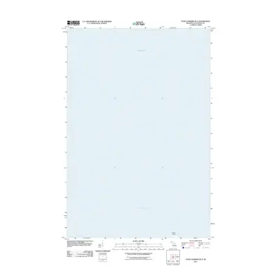
2011 Map of Four Corners OE N
USGS Topo · Published 2011About this map
Lake Superior dominates this nautical landscape off the coast of Bohemia Township in Ontonagon County. As a 2011 survey, the map focuses on the shoreline interface where the Keweenaw Peninsula meets the open water. The only named terrestrial landmark is Willard Point, a small projection on the southern edge of the quadrangle. This specific perspective illustrates the coastal geography of the Upper Peninsula just after the first decade of the millennium, providing a precise record of the shoreline before further natural erosion or modern development. Because the sheet is primarily composed of open water, it serves as a specialized reference for the maritime approach to this part of the Michigan coast.
Find a feature on this map
2 named features on this map. Tap any name to fly to it.
Don’t see what you’re looking for? This feature index may not catch every label — zoom into the map to look around manually.
Map Details
Editions of this 2011 Four Corners OE N Map
This is the sole edition of this map. No revisions or reprints were ever made.
Other maps of this area

1950 · Greenland
USGS Topo · 1:62,500

1951 · Greenland
USGS Topo · 1:62,500

1954 · Rockhouse Point
USGS Topo · 1:24,000

1954 · Winona
USGS Topo · 1:62,500

1958 · Hancock
USGS Topo · 1:250,000

1958 · Iron River
USGS Topo · 1:250,000

1960 · Iron River
USGS Topo · 1:250,000

1960 · Hancock
USGS Topo · 1:250,000

1961 · Iron River
USGS Topo · 1:250,000

1961 · Hancock
USGS Topo · 1:250,000