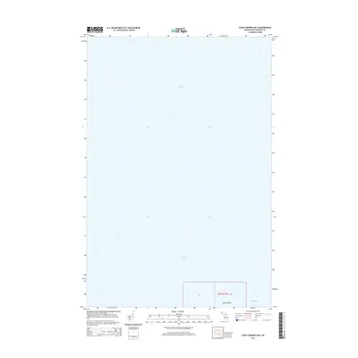
2014 Map of Four Corners OE N
USGS Topo · Published 2014About this map
Lake Superior dominates this coastal survey, where the deep waters of the world's largest freshwater lake meet the northern shoreline of Ontonagon County. The map focuses primarily on the maritime expanse, providing a clean perspective of the coast just west of Misery Bay. A small land portion in the southern margin highlights the transition from water to terrestrial features at Willard Point, a distinct geographic protrusion along this stretch of the Upper Peninsula. The interior is sparsely detailed, defined by the Public Land Survey System sections such as Section 07 and Section 08 within township t53n r37w. This document is particularly valuable for those studying the exact 21st-century shoreline positions and the geographic relationship between the bay and the surrounding open water.
Find a feature on this map
6 named features on this map. Tap any name to fly to it.
Don’t see what you’re looking for? This feature index may not catch every label — zoom into the map to look around manually.
Map Details
Editions of this 2014 Four Corners OE N Map
This is the sole edition of this map. No revisions or reprints were ever made.
Other maps of this area

1950 · Greenland
USGS Topo · 1:62,500

1951 · Greenland
USGS Topo · 1:62,500

1954 · Rockhouse Point
USGS Topo · 1:24,000

1954 · Winona
USGS Topo · 1:62,500

1958 · Hancock
USGS Topo · 1:250,000

1958 · Iron River
USGS Topo · 1:250,000

1960 · Iron River
USGS Topo · 1:250,000

1960 · Hancock
USGS Topo · 1:250,000

1961 · Iron River
USGS Topo · 1:250,000

1961 · Hancock
USGS Topo · 1:250,000