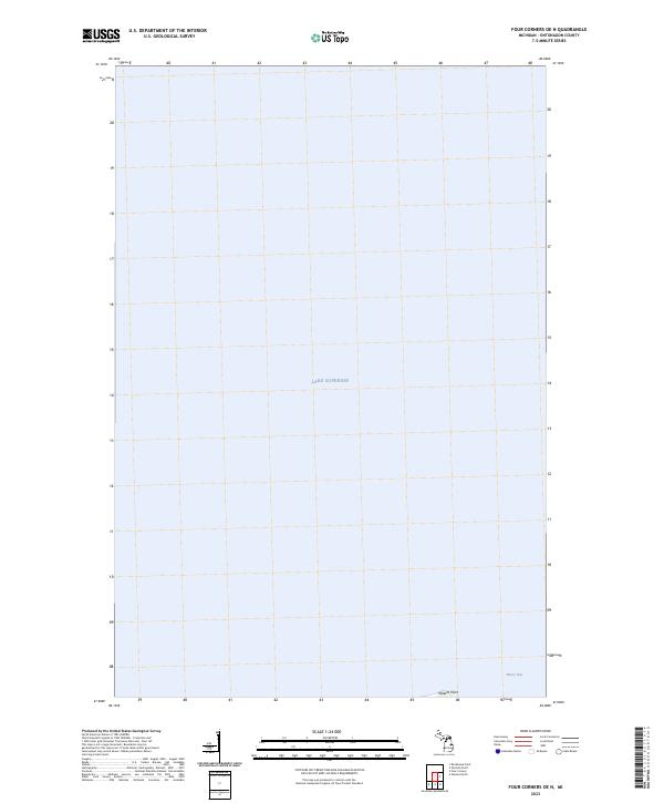
2023 Map of Four Corners OE N
USGS Topo · Published 2023About this map
Lake Superior dominates this coastal survey, where the open waters of the Great Lakes meet the shoreline of Ontonagon County. The map focuses on a transitional marine environment, notably the shelter provided by Misery Bay and the distinct geographic protrusion of Willard Point. This 2023 edition documents the modern coastline, revealing how the water interacts with the northern edge of the Michigan mainland within the township designated as t53n r37w. Unlike more developed interior regions, the focus here is on the interface between the lake and the land, providing a contemporary record of shoreline topography and named marine landmarks.
Find a feature on this map
4 named features on this map. Tap any name to fly to it.
Don’t see what you’re looking for? This feature index may not catch every label — zoom into the map to look around manually.
Map Details
Editions of this 2023 Four Corners OE N Map
This is the sole edition of this map. No revisions or reprints were ever made.
Other maps of this area

1950 · Greenland
USGS Topo · 1:62,500

1951 · Greenland
USGS Topo · 1:62,500

1954 · Rockhouse Point
USGS Topo · 1:24,000

1954 · Winona
USGS Topo · 1:62,500

1958 · Hancock
USGS Topo · 1:250,000

1958 · Iron River
USGS Topo · 1:250,000

1960 · Iron River
USGS Topo · 1:250,000

1960 · Hancock
USGS Topo · 1:250,000

1961 · Iron River
USGS Topo · 1:250,000

1961 · Hancock
USGS Topo · 1:250,000