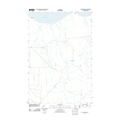
2011 Map of Four Corners
USGS Topo · Published 2011About this map
Four Corners serves as the namesake intersection for this coastal Michigan landscape, where the southern shore of Lake Superior meets a dense network of logging infrastructure. The map documents a landscape defined by industrial history and outdoor recreation, featuring numerous numbered encampments such as Camp 13, Camp 14, and Camp 17, alongside specifically named sites like Penegors Camp. Waterways dominate the terrain, with the West Sleeping River, East Sleeping River, and Holland Creek draining toward Sleeping Bay and Misery Bay. A notable geographic landmark, Fourteen Mile Point, stands at the northwestern edge of the shoreline near Willard Point. The interior is crisscrossed by specialized transit routes including the Snowmobile Logging Rd and the Snowmobile Trl, reflecting the dual-purpose nature of the Upper Peninsula forests in the early twenty-first century.
Find a feature on this map
28 named features on this map. Tap any name to fly to it.
Don’t see what you’re looking for? This feature index may not catch every label — zoom into the map to look around manually.
Map Details
Editions of this 2011 Four Corners Map
This is the sole edition of this map. No revisions or reprints were ever made.
Other maps of this area

1950 · Greenland
USGS Topo · 1:62,500

1951 · Greenland
USGS Topo · 1:62,500

1954 · Rockhouse Point
USGS Topo · 1:24,000

1954 · Winona
USGS Topo · 1:62,500

1958 · Hancock
USGS Topo · 1:250,000

1958 · Iron River
USGS Topo · 1:250,000

1960 · Iron River
USGS Topo · 1:250,000

1960 · Hancock
USGS Topo · 1:250,000

1961 · Iron River
USGS Topo · 1:250,000

1961 · Hancock
USGS Topo · 1:250,000