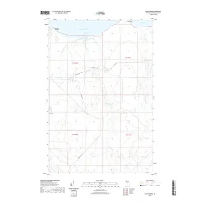
2019 Map of Four Corners
USGS Topo · Published 2019About this map
Lake Superior dominates the northern edge of this coastal landscape, where the shoreline is defined by Fourteen Mile Point and Willard Point. Inland from Sleeping Bay, the terrain is characterized by a dense network of waterways, including the West Sleeping River, East Sleeping River, and Holland Cr. The settlement at Four Corners serves as a small waypoint in a region otherwise defined by logging activity and recreational corridors. Evidence of the local timber economy is visible through numerous charted routes like Snowmobile Rd Logging and Camp 18 Rd. The drainage patterns here are intricate, with McCarthy Cr and Black Cr feeding into the larger bays, reflecting the wet, forested character of Ontonagon County's northern reaches in the early 21st century.
Find a feature on this map
23 named features on this map. Tap any name to fly to it.
Don’t see what you’re looking for? This feature index may not catch every label — zoom into the map to look around manually.
Map Details
Editions of this 2019 Four Corners Map
This is the sole edition of this map. No revisions or reprints were ever made.
Other maps of this area

1950 · Greenland
USGS Topo · 1:62,500

1951 · Greenland
USGS Topo · 1:62,500

1954 · Rockhouse Point
USGS Topo · 1:24,000

1954 · Winona
USGS Topo · 1:62,500

1958 · Hancock
USGS Topo · 1:250,000

1958 · Iron River
USGS Topo · 1:250,000

1960 · Iron River
USGS Topo · 1:250,000

1960 · Hancock
USGS Topo · 1:250,000

1961 · Iron River
USGS Topo · 1:250,000

1961 · Hancock
USGS Topo · 1:250,000