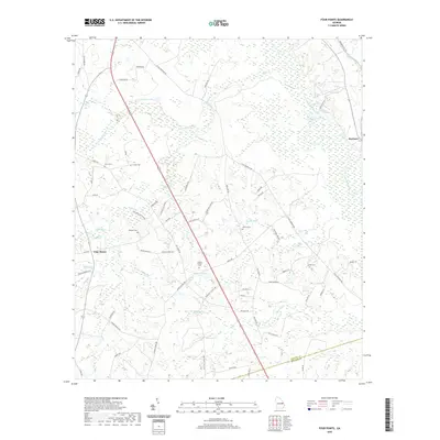
2020 Map of Four Points
USGS Topo · Published 2020About this map
Scarboro and Four Points anchor this pocket of Jenkins County, where the eastern boundary is defined by the winding course of the Ogeechee River. The landscape is dominated by a dense network of blackwater drainages including Sculls Cr, Richardson Cr, and Bay Gall Cr, which feed into the area's numerous wetlands and cypress-lined water bodies like Newton Lake.
Find a feature on this map
68 named features on this map. Tap any name to fly to it.
Don’t see what you’re looking for? This feature index may not catch every label — zoom into the map to look around manually.
Map Details
Editions of this 2020 Four Points Map
This is the sole edition of this map. No revisions or reprints were ever made.
Other maps of this area

1920 · Millen
USGS Topo · 1:62,500

1921 · Rocky Ford
USGS Topo · 1:62,500

1943 · Rocky Ford
USGS Topo · 1:62,500

1943 · Millen
USGS Topo · 1:62,500

1943 · Millen
USGS Topo · 1:125,000

1947 · Savannah
USGS Topo · 1:250,000

1948 · Savannah
USGS Topo · 1:250,000

1957 · Macon
USGS Topo · 1:250,000

1957 · Savannah
USGS Topo · 1:250,000

1958 · Macon
USGS Topo · 1:250,000