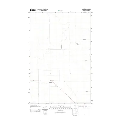
2013 Map of Four Town
USGS Topo · Published 2013About this map
Four Town and the settlement of Malcolm anchor this Beltrami County landscape, where the survey reveals a strictly organized grid of rural roads and remote timberland. The intersection of Mn-89 and Townline Rd serves as the primary junction for the area's movement, while more specific local history is found along family-named corridors like Dicks Parkway Rd and Judees Rd. A notable landmark, the Linder Lookout Tower, stands as a point of reference for fire management in the surrounding forests. The map's layout of paths like Swedes Jackpine Rd NW and Diamond Willow Ln NW reflects the local importance of the logging industry and the varied species of the northern woods.
Find a feature on this map
18 named features on this map. Tap any name to fly to it.
Don’t see what you’re looking for? This feature index may not catch every label — zoom into the map to look around manually.
Map Details
Editions of this 2013 Four Town Map
This is the sole edition of this map. No revisions or reprints were ever made.
Other maps of this area

1918 · F
USGS Topo · 1:62,500

1918 · Malcolm
USGS Topo · 1:62,500

1918 · Jelle
USGS Topo · 1:62,500

1954 · Roseau
USGS Topo · 1:250,000

1957 · Roseau
USGS Topo · 1:250,000

1958 · Roseau
USGS Topo · 1:250,000

1973 · Gates Corner
USGS Topo · 1:24,000

1973 · Jelle NE
USGS Topo · 1:24,000

1973 · Thorhult
USGS Topo · 1:24,000
1973 · Shilling Dam NW
USGS Topo · 1:24,000