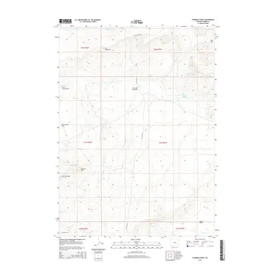
2015 Map of Fourmile Point
USGS Topo · Published 2015About this map
Shirley Basin provides the setting for this high-desert landscape in Carbon County, where the high plains meet rising topographical markers like Fourmile Point and Fourmile Ridge. The map illustrates a region defined by seasonal watercourses and drainage patterns, including Fourmile Cr and Muddy Cr, which carve through the arid terrain. Infrastructure is sparse, primarily consisting of rural routes such as Stinking Creek Rd and Dry Creek Rd that navigate between distinct landforms.
Find a feature on this map
22 named features on this map. Tap any name to fly to it.
Don’t see what you’re looking for? This feature index may not catch every label — zoom into the map to look around manually.
Map Details
Editions of this 2015 Fourmile Point Map
This is the sole edition of this map. No revisions or reprints were ever made.
Other maps of this area

1951 · Bear Mountain
USGS Topo · 1:24,000

1951 · Bear Spring
USGS Topo · 1:24,000

1953 · Fourmile Point
USGS Topo · 1:24,000

1953 · Fourmile Ridge
USGS Topo · 1:24,000

1953 · The Q Ranch
USGS Topo · 1:24,000

1953 · Beaver Creek
USGS Topo · 1:24,000

1955 · Casper
USGS Topo · 1:250,000

1958 · Casper
USGS Topo · 1:250,000

1960 · Wild Irish Reservoir
USGS Topo · 1:24,000

1960 · Horse Peak
USGS Topo · 1:24,000