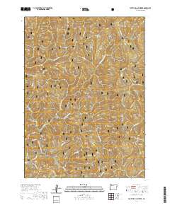
2020 Map of Fourth of July Creek
USGS Topo · Published 2020About this map
The Japanese Bombing Site stands as a unique historical landmark in this heavily forested landscape, marking a rare instance of an aerial strike on the United States mainland during World War II. Located within the Siskiyou National Forest, the terrain is defined by a dense network of watercourses and ridges, with the Winchuck River and its major tributaries, including the E Fork Winchuck River and Fourth of July Creek, draining the steep slopes. High elevations are punctuated by peaks such as Elk Mtn and Packsaddle Mtn, while prominent landforms like Wheeler Ridge and Bear Ridge shape the drainage patterns. This recent survey emphasizes the region's character as a managed wilderness, where natural features like Pack Saddle Gulch and Red Mountain remain primary points of orientation.
Find a feature on this map
39 named features on this map. Tap any name to fly to it.
Don’t see what you’re looking for? This feature index may not catch every label — zoom into the map to look around manually.
Map Details
Editions of this 2020 Fourth of July Creek Map
This is the sole edition of this map. No revisions or reprints were ever made.
Other maps of this area

1917 · Kerby
USGS Topo · 1:125,000

1918 · Kerby
USGS Topo · 1:125,000

1922 · Preston Peak
USGS Topo · 1:125,000

1929 · Crescent City
USGS Topo · 1:125,000

1945 · Kerby
USGS Topo · 1:125,000

1945 · Gasquet
USGS Topo · 1:62,500

1945 · Point St. George
USGS Topo · 1:62,500

1948 · Weed
USGS Topo · 1:250,000

1949 · Eureka
USGS Topo · 1:250,000

1950 · Weed
USGS Topo · 1:250,000