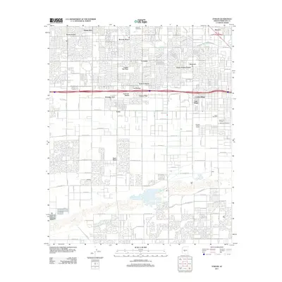
2011 Map of Fowler
USGS Topo · Published 2011About this map
The Salt River corridor and its surrounding urban expansion define this early 21st-century portrait of western Phoenix. Highlighting a dense network of residential subdivisions, the map illustrates the development of neighborhoods such as Maryvale Terrace, Sunrise Terrace, and Young America Homes. These planned communities are interspersed with essential local infrastructure, including the Capitol Post Office and the Phoenix District Airport. The landscape is framed by long-established water management systems like the Grand Canal, which persists alongside modern recreational spaces such as the Maryvale Golf Course.
Find a feature on this map
72 named features on this map. Tap any name to fly to it.
Don’t see what you’re looking for? This feature index may not catch every label — zoom into the map to look around manually.
Map Details
Editions of this 2011 Fowler Map
This is the sole edition of this map. No revisions or reprints were ever made.
Other maps of this area

1912 · Phoenix
USGS Topo · 1:62,500

1914 · Phoenix
USGS Topo · 1:62,500

1946 · Avondale
USGS Topo · 1:62,500

1948 · Cashion
USGS Topo · 1:62,500

1952 · Lone Butte
USGS Topo · 1:24,000

1952 · Laveen
USGS Topo · 1:24,000

1952 · Phoenix
USGS Topo · 1:24,000

1952 · Fowler
USGS Topo · 1:24,000

1952 · Phoenix
USGS Topo · 1:62,500

1954 · Phoenix
USGS Topo · 1:250,000