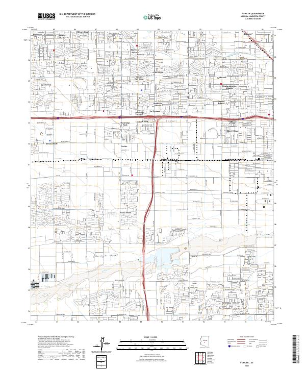
2021 Map of Fowler
USGS Topo · Published 2021About this map
The Salt River Valley serves as the foundation for this detailed look at Western Phoenix, where intensive residential development meets legacy irrigation systems. The map traces the essential path of the Salt River and the critical water infrastructure provided by the Grand Canal and Roosevelt Canal. These waterways define the agricultural heritage of the region, even as modern neighborhoods like Maryvale Terrace, Sunburst Homes, and Young America Homes have transformed the landscape into a dense suburban grid.
Find a feature on this map
121 named features on this map. Tap any name to fly to it.
Don’t see what you’re looking for? This feature index may not catch every label — zoom into the map to look around manually.
Map Details
Editions of this 2021 Fowler Map
This is the sole edition of this map. No revisions or reprints were ever made.
Other maps of this area

1912 · Phoenix
USGS Topo · 1:62,500

1914 · Phoenix
USGS Topo · 1:62,500

1946 · Avondale
USGS Topo · 1:62,500

1948 · Cashion
USGS Topo · 1:62,500

1952 · Lone Butte
USGS Topo · 1:24,000

1952 · Laveen
USGS Topo · 1:24,000

1952 · Phoenix
USGS Topo · 1:24,000

1952 · Fowler
USGS Topo · 1:24,000

1952 · Phoenix
USGS Topo · 1:62,500

1954 · Phoenix
USGS Topo · 1:250,000