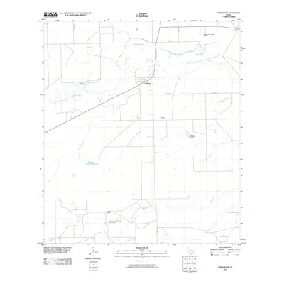
2010 Map of Fowlerton
USGS Topo · Published 2010About this map
Fowlerton serves as the primary hub in this South Texas landscape, situated along the Frio River as it winds through La Salle County. The settlement pattern is characterized by scattered ranching interests and water management features essential to this semi-arid environment, including Galinda Ranch and the interestingly named Tanque La Trampa Los Chivos to the south. Numerous reservoirs and water control structures like Miller Dam, Montgomery Lake Dam, and Morton Lake Dam illustrate the historical effort to manage the local hydrology for livestock and agriculture.
Find a feature on this map
28 named features on this map. Tap any name to fly to it.
Don’t see what you’re looking for? This feature index may not catch every label — zoom into the map to look around manually.
Map Details
Editions of this 2010 Fowlerton Map
This is the sole edition of this map. No revisions or reprints were ever made.
Other maps of this area

1930 · Tilden
USGS Topo · 1:62,500

1942 · Fowlerton
USGS Topo · 1:62,500

1942 · Tilden
USGS Topo · 1:62,500

1953 · Crystal City
USGS Topo · 1:250,000

1955 · Crystal City
USGS Topo · 1:250,000

1956 · Hindes
USGS Topo · 1:62,500

1956 · Franklin Settlement
USGS Topo · 1:62,500

1956 · Fowlerton
USGS Topo · 1:62,500

1961 · Crystal City
USGS Topo · 1:250,000

1968 · Crystal City
USGS Topo · 1:250,000