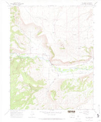
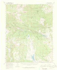
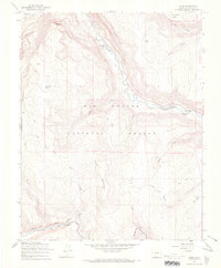
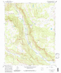
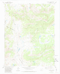
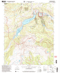
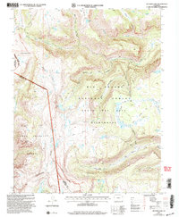
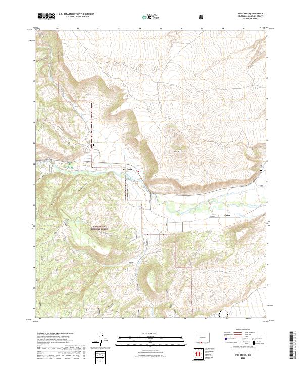
1967 Map of Fox Creek
USGS Topo · Published 1971This historical map portrays the area of Fox Creek in 1967, primarily covering Conejos County. Featuring a scale of 1:24000, this map provides a highly detailed snapshot of the terrain, roads, buildings, counties, and historical landmarks in the Fox Creek region at the time. Published in 1971, it is one of 2 known editions of this map due to revisions or reprints.
Find a feature on this map
30 named features on this map. Tap any name to fly to it.
Don’t see what you’re looking for? This feature index may not catch every label — zoom into the map to look around manually.
Map Details
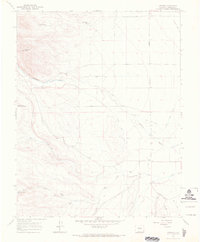
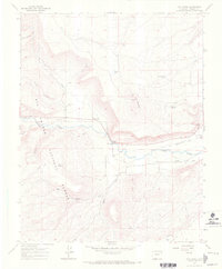
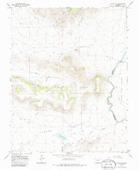
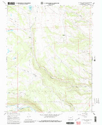
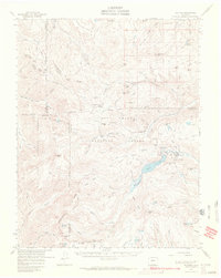
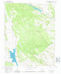
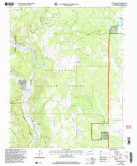
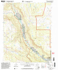
Editions of this 1967 Fox Creek Map
2 editions found
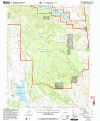
Historical Maps of Fox Creek Through Time
42 maps found
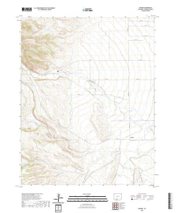
1967 Centro
Conejos County, CO

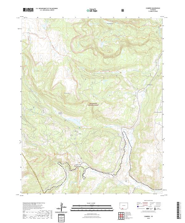
1967 Cumbres
Conejos County, CO
1967 Fox Creek
Conejos County, CO
1967 Goshawk Dam
Conejos County, CO
1967 Jasper
Conejos County, CO
1967 Kiowa Hill
Conejos County, CO
1967 La Jara Canyon
Conejos County, CO
1967 Lobatos
Conejos County, CO

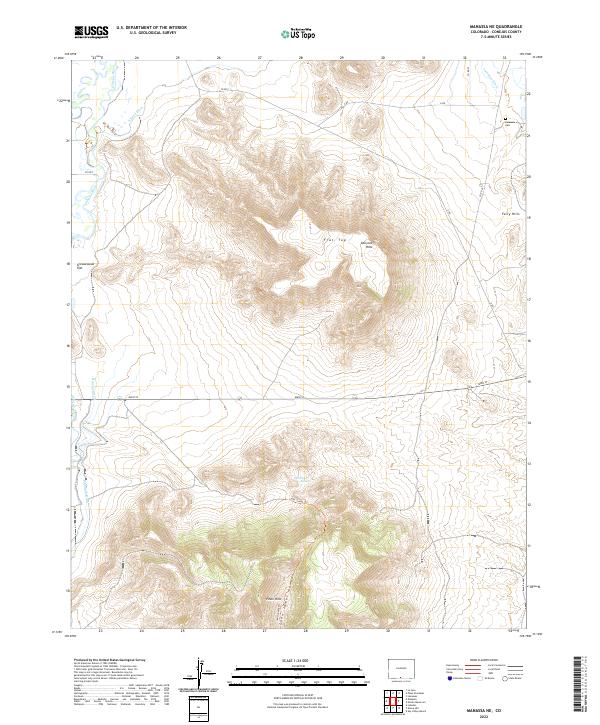
1967 Manassa NE
Conejos County, CO
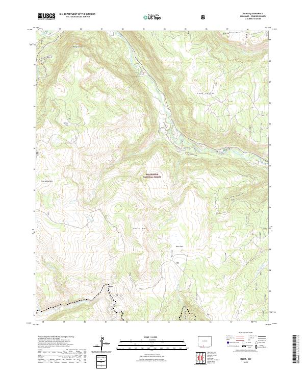
1967 Osier
Conejos County, CO
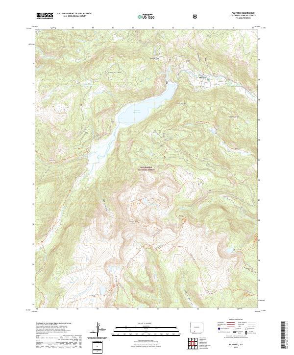
1967 Platoro
Conejos County, CO
1967 Platoro
Conejos County, CO
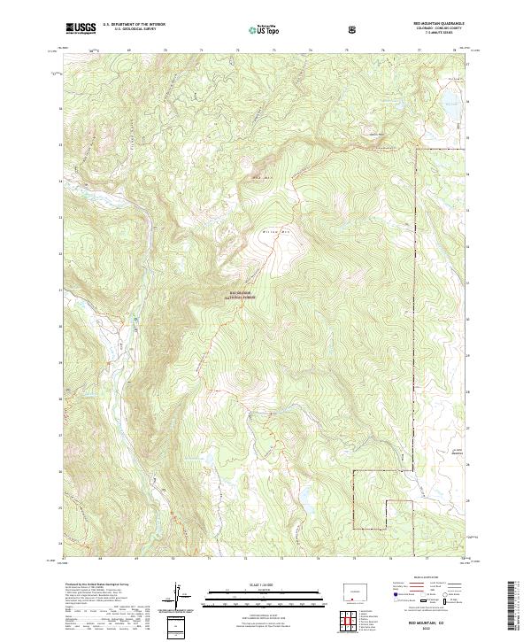
1967 Red Mountain
Conejos County, CO
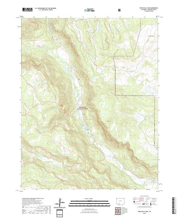
1967 Spectacle Lake
Conejos County, CO
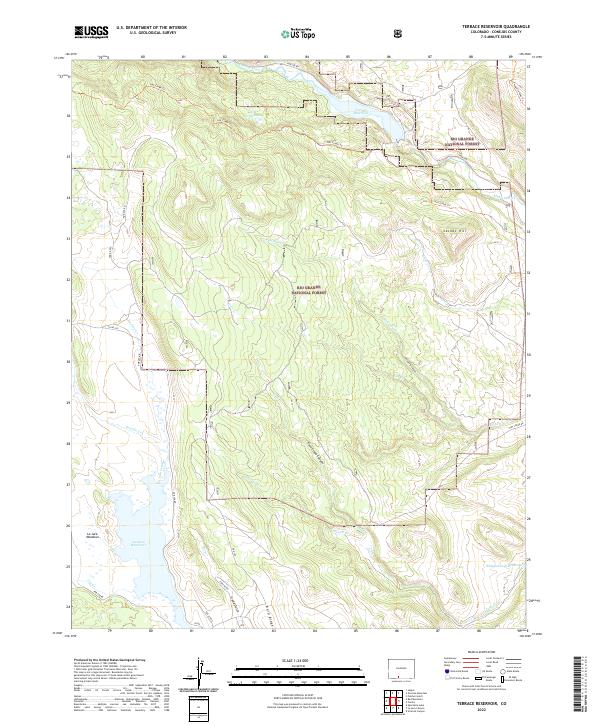
1967 Terrace Reservoir
Conejos County, CO
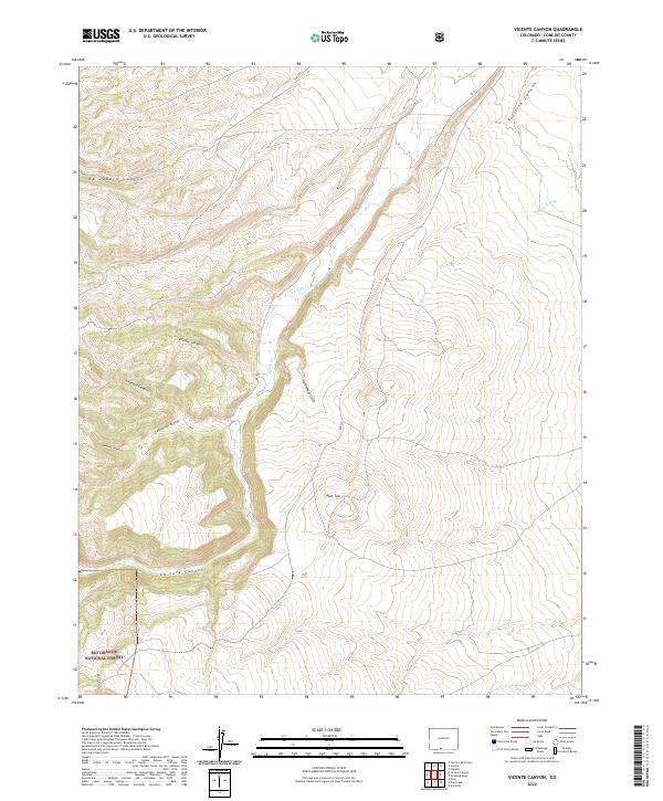
1967 Vicente Canyon
Conejos County, CO
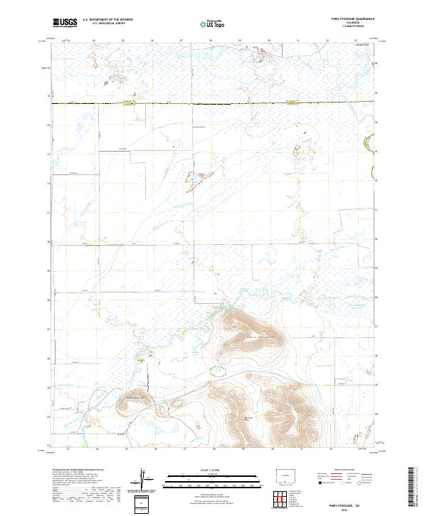
1968 Pikes Stockade
Conejos County, CO
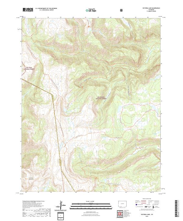
1984 Victoria Lake
Conejos County, CO
2001 Cumbres
Conejos County, CO
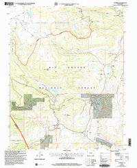
2001 Fox Creek
Conejos County, CO
2001 La Jara Canyon
Conejos County, CO
2001 Platoro
Conejos County, CO
2001 Red Mountain
Conejos County, CO
2001 Spectacle Lake
Conejos County, CO
2001 Terrace Reservoir
Conejos County, CO
2001 Victoria Lake
Conejos County, CO
2022 Centro
Conejos County, CO
2022 Cumbres
Conejos County, CO
2022 Fox Creek
Conejos County, CO
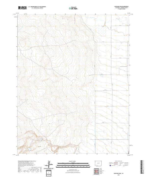
2022 Goshawk Dam
Conejos County, CO
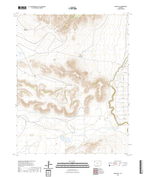
2022 Kiowa Hill
Conejos County, CO
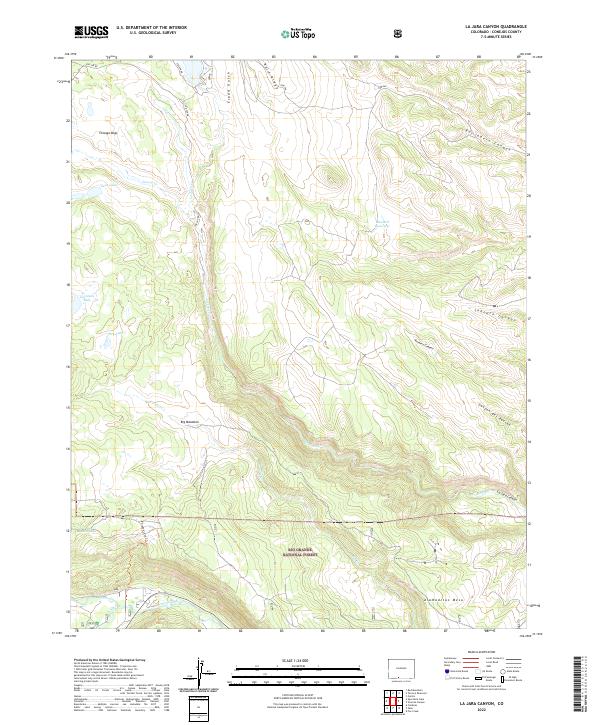
2022 La Jara Canyon
Conejos County, CO
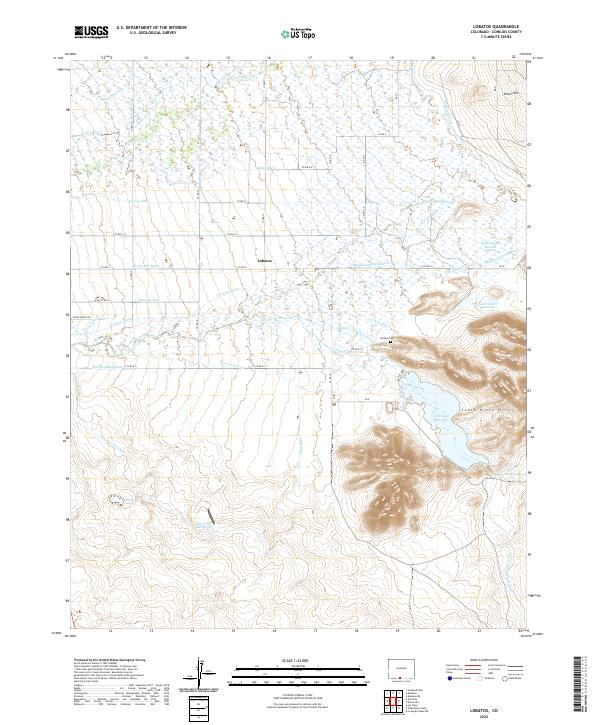
2022 Lobatos
Conejos County, CO
2022 Manassa NE
Conejos County, CO
2022 Osier
Conejos County, CO
2022 Pikes Stockade
Conejos County, CO
2022 Platoro
Conejos County, CO
2022 Red Mountain
Conejos County, CO
2022 Spectacle Lake
Conejos County, CO
2022 Terrace Reservoir
Conejos County, CO
2022 Vicente Canyon
Conejos County, CO
2022 Victoria Lake
Conejos County, CO