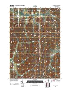
2011 Map of Fox Hollow
USGS Topo · Published 2011About this map
Spencer Creek and its various tributaries define the drainage patterns of this rural Lane County landscape, where the foothills of the Coast Range meet the southern Willamette Valley. Small, established communities like Gillespie Corners and Fox Hollow serve as local anchors within a network of winding roads, including the Lorane Hwy and Briggs Hill Rd. Significant elevations such as Briggs Hill and Round Mountain overlook a complex system of waterways, from the primary channel of Coyote Creek to smaller runs like Doak Creek and Rebel Creek. This topographic record provides a clear look at the area's transition from open valley floor to more timbered upland slopes, detailing the interface between agricultural valley life and the forestry lands managed under BLM 19-4-4 management designations.
Find a feature on this map
60 named features on this map. Tap any name to fly to it.
Don’t see what you’re looking for? This feature index may not catch every label — zoom into the map to look around manually.
Map Details
Editions of this 2011 Fox Hollow Map
This is the sole edition of this map. No revisions or reprints were ever made.
Other maps of this area

1909 · Elmira
USGS Topo · 1:62,500

1910 · Eugene
USGS Topo · 1:62,500

1921 · Cottage Grove
USGS Topo · 1:62,500

1922 · Elmira
USGS Topo · 1:62,500

1940 · Eugene
USGS Topo · 1:62,500

1942 · Elmira
USGS Topo · 1:62,500

1942 · Crow
USGS Topo · 1:62,500

1945 · Crow
USGS Topo · 1:62,500

1946 · Eugene
USGS Topo · 1:62,500

1949 · Eugene
USGS Topo · 1:62,500