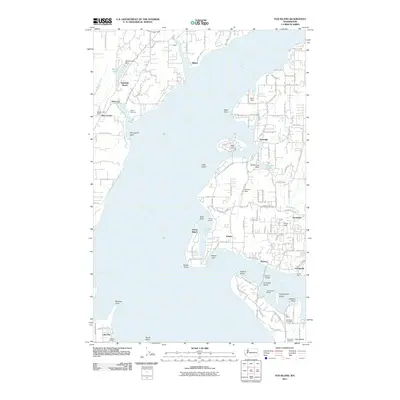
2011 Map of Fox Island
USGS Topo · Published 2011About this map
Carr Inlet and Hale Passage define the complex shoreline of this 2011 maritime landscape, where island communities and coastal settlements are deeply integrated with the water. The northern end of Fox Island is shown in detail, connected to the mainland via the Island Bridge near Warren. This era of the region’s development is marked by a mix of established residential areas like Artondale and Rosedale alongside recreational sites including Camp Seymour and Camp Colman.
Find a feature on this map
90 named features on this map. Tap any name to fly to it.
Don’t see what you’re looking for? This feature index may not catch every label — zoom into the map to look around manually.
Map Details
Editions of this 2011 Fox Island Map
This is the sole edition of this map. No revisions or reprints were ever made.
Other maps of this area

1937 · Olympia
USGS Topo · 1:62,500

1938 · Allyn
USGS Topo · 1:62,500

1940 · Anderson Island
USGS Topo · 1:62,500

1942 · Gig Harbor
USGS Topo · 1:62,500

1943 · Gig Harbor
USGS Topo · 1:62,500

1948 · Anderson Island
USGS Topo · 1:62,500

1948 · Anderson Island
USGS Topo · 1:24,000

1948 · Steilacoom
USGS Topo · 1:24,000

1949 · Olympia
USGS Topo · 1:62,500

1953 · Burley
USGS Topo · 1:24,000