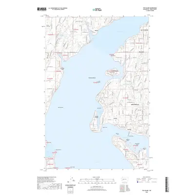
2020 Map of Fox Island
USGS Topo · Published 2020About this map
Fox Island and the surrounding reaches of Carr Inlet and Henderson Bay define this maritime landscape in Pierce County. The 2020 topography illustrates the intricate shoreline of the Great Peninsula and Key Peninsula, where settlements like Artondale, Arletta, and Minter are connected by a network of local roads and coastal drives. Notable residential and recreation patterns are visible near water bodies such as Lake Minterwood and Sylvia Lake, while smaller islands like Raft Island and Tanglewood Island dot the surrounding passages.
Find a feature on this map
141 named features on this map. Tap any name to fly to it.
Don’t see what you’re looking for? This feature index may not catch every label — zoom into the map to look around manually.
Map Details
Editions of this 2020 Fox Island Map
This is the sole edition of this map. No revisions or reprints were ever made.
Other maps of this area
1937 · Olympia
USGS Topo · 1:62,500
1938 · Allyn
USGS Topo · 1:62,500
1940 · Anderson Island
USGS Topo · 1:62,500

1942 · Gig Harbor
USGS Topo · 1:62,500

1943 · Gig Harbor
USGS Topo · 1:62,500
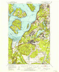
1948 · Anderson Island
USGS Topo · 1:62,500
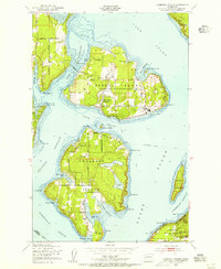
1948 · Anderson Island
USGS Topo · 1:24,000
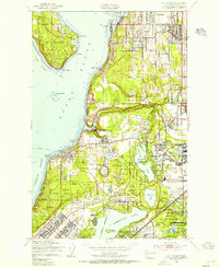
1948 · Steilacoom
USGS Topo · 1:24,000
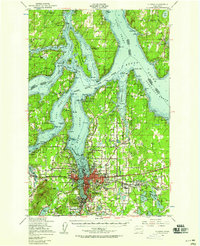
1949 · Olympia
USGS Topo · 1:62,500
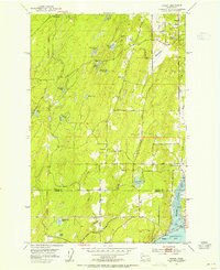
1953 · Burley
USGS Topo · 1:24,000