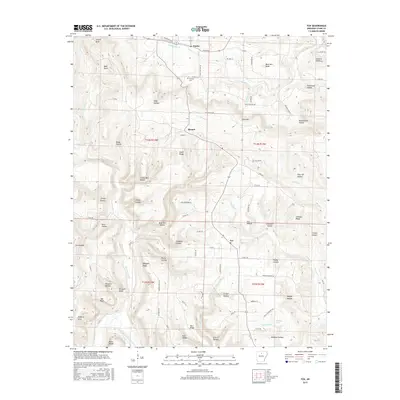
2017 Map of Fox
USGS Topo · Published 2017About this map
Timbo and the surrounding Stone County settlements occupy a landscape defined by sharp ridges and deep hollows in this 2017 study. The area is marked by a complex network of county roads that follow the winding topography, connecting isolated points like Mozart and Fox. To the south, the Middle Fork Little Red River snakes through the terrain near Arlberg, while the northern portion is drained by S Sylamore Cr.
Find a feature on this map
90 named features on this map. Tap any name to fly to it.
Don’t see what you’re looking for? This feature index may not catch every label — zoom into the map to look around manually.
Map Details
Editions of this 2017 Fox Map
This is the sole edition of this map. No revisions or reprints were ever made.
Other maps of this area

1892 · Mountain View
USGS Topo · 1:125,000

1894 · Mountain View
USGS Topo · 1:125,000

1956 · Russellville
USGS Topo · 1:250,000

1964 · Russellville
USGS Topo · 1:250,000

1969 · Mountain View SW
USGS Topo · 1:24,000
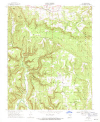
1969 · Fox
USGS Topo · 1:24,000
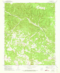
1972 · Onia
USGS Topo · 1:24,000
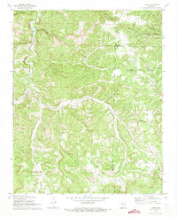
1972 · Landis
USGS Topo · 1:24,000
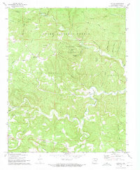
1972 · Fiftysix
USGS Topo · 1:24,000
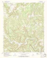
1973 · Oxley
USGS Topo · 1:24,000