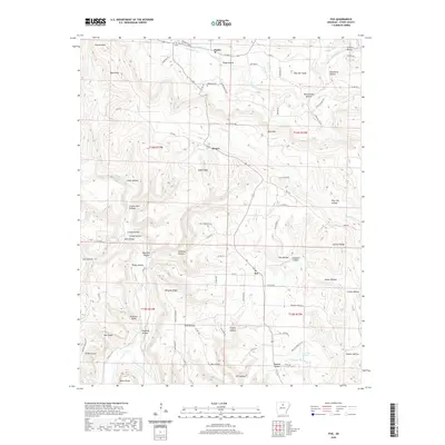
2020 Map of Fox
USGS Topo · Published 2020About this map
Timbo and Fox serve as the primary hubs in this Stone County landscape, where the terrain is defined by a dense network of ridges and hollows carved by the Middle Fork Little Red River and S Sylamore Cr. The small community of Mozart sits tucked away near Dodd Ridge, while the northern reaches include the Ramsley Cem and the prominent heights of Bald Knob. The naming of the local topography reveals the history of family settlement and natural landmarks, with features like Cranes Nest Hollow, Rattlesnake Hollow, and Signboard Hollow providing a sense of place for those tracing local roots. Throughout the quadrangle, old roads like the Newhata Cutoff and Ross Rd trace the contours of the land, connecting dispersed homesites and farms between Whipple Ridge and Johnson Ridge.
Find a feature on this map
90 named features on this map. Tap any name to fly to it.
Don’t see what you’re looking for? This feature index may not catch every label — zoom into the map to look around manually.
Map Details
Editions of this 2020 Fox Map
This is the sole edition of this map. No revisions or reprints were ever made.
Other maps of this area

1892 · Mountain View
USGS Topo · 1:125,000

1894 · Mountain View
USGS Topo · 1:125,000

1956 · Russellville
USGS Topo · 1:250,000

1964 · Russellville
USGS Topo · 1:250,000

1969 · Mountain View SW
USGS Topo · 1:24,000
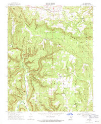
1969 · Fox
USGS Topo · 1:24,000
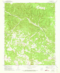
1972 · Onia
USGS Topo · 1:24,000
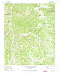
1972 · Landis
USGS Topo · 1:24,000
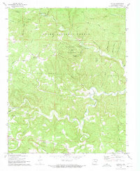
1972 · Fiftysix
USGS Topo · 1:24,000
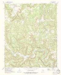
1973 · Oxley
USGS Topo · 1:24,000