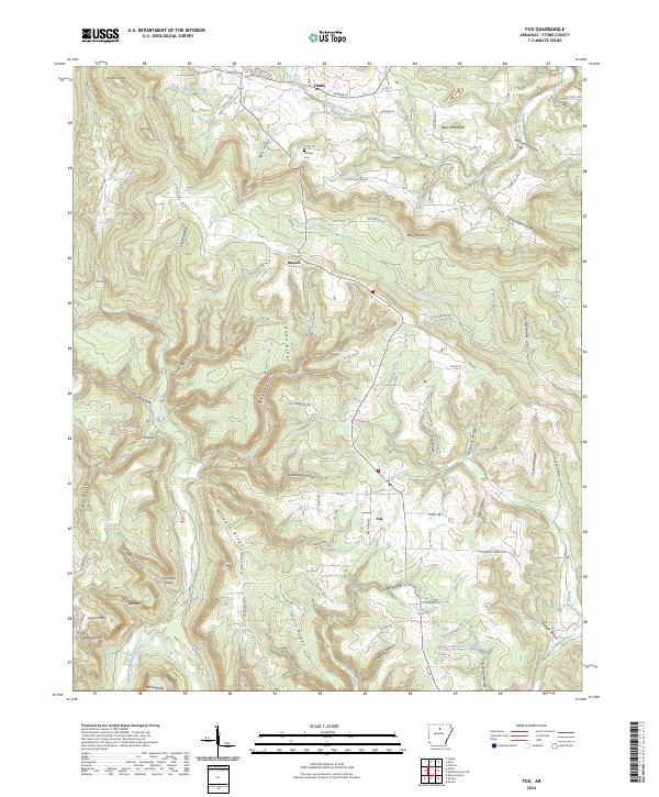
2024 Map of Fox
USGS Topo · Published 2024About this map
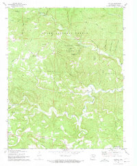
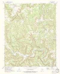
Timbo, Mozart, and Fox anchor this survey of the Ozark landscape in northern Arkansas. The terrain is defined by deeply incised drainages and named hollows, where South Sylamore Creek flows through the northern reaches while the Middle Fork Little Red River carves the southwest corner. These watercourses are flanked by prominent elevations like Blue Mountain and Strand Knob, creating a landscape of narrow ridges such as Dodd Ridge and Whipple Ridge.
Find a feature on this map
97 named features on this map. Tap any name to fly to it.
Don’t see what you’re looking for? This feature index may not catch every label — zoom into the map to look around manually.
Map Details
Editions of this 2024 Fox Map
This is the sole edition of this map. No revisions or reprints were ever made.
Other maps of this area

1892 · Mountain View
USGS Topo · 1:125,000

1894 · Mountain View
USGS Topo · 1:125,000

1956 · Russellville
USGS Topo · 1:250,000

1964 · Russellville
USGS Topo · 1:250,000

1969 · Mountain View SW
USGS Topo · 1:24,000
1969 · Fox
USGS Topo · 1:24,000
1972 · Onia
USGS Topo · 1:24,000
1972 · Landis
USGS Topo · 1:24,000
1972 · Fiftysix
USGS Topo · 1:24,000
1973 · Oxley
USGS Topo · 1:24,000