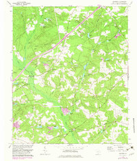
1964 Map of Foxtown
USGS Topo · Published 1982About this map
The South Fork Edisto River carves through this Aiken County landscape, defining a rural region characterized by small-scale industry and community hubs. Small settlements like Foxtown and Oak Grove serve as anchor points amidst a network of family-named water bodies, including Readys Pond, Huttos Pond, and Cullums Pond. The map reveals a high concentration of institutional landmarks that are essential for genealogical research, with numerous churches and cemeteries scattered across the terrain, such as Caledonia Ch, Holston Ch, and the Plunkett Cem.
Find a feature on this map
48 named features on this map. Tap any name to fly to it.
Don’t see what you’re looking for? This feature index may not catch every label — zoom into the map to look around manually.
Map Details
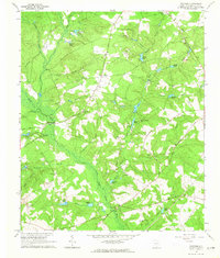
Editions of this 1964 Foxtown Map
2 editions found
Other maps of this area

1920 · Aiken
USGS Topo · 1:48,000

1921 · Aiken
USGS Topo · 1:62,500

1943 · Aiken
USGS Topo · 1:62,500

1944 · Gilbert
USGS Topo · 1:62,500

1944 · Seivern
USGS Topo · 1:62,500

1954 · Augusta
USGS Topo · 1:250,000

1957 · Augusta
USGS Topo · 1:250,000

1958 · Augusta
USGS Topo · 1:250,000

1961 · Augusta
USGS Topo · 1:250,000

1962 · Augusta
USGS Topo · 1:250,000