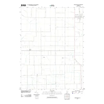
2010 Map of Francesville
USGS Topo · Published 2010About this map
Francesville anchors the northeast corner of this Pulaski County landscape, where the rectilinear grid of the town site meets a vast agricultural expanse defined by early 21st-century water management. The area is heavily marked by a complex network of drainage infrastructure, including the Ryan Ditch, Pelsy Ditch, and Makeever Huff Ditch, which redirect water across the flat terrain to support the region's long-standing farming economy. These engineered channels converge toward Slough Creek, which meanders across the southern portion of the sheet.
Find a feature on this map
56 named features on this map. Tap any name to fly to it.
Don’t see what you’re looking for? This feature index may not catch every label — zoom into the map to look around manually.
Map Details
Editions of this 2010 Francesville Map
This is the sole edition of this map. No revisions or reprints were ever made.
Other maps of this area

1953 · Chicago
USGS Topo · 1:250,000

1953 · Danville
USGS Topo · 1:250,000

1955 · Danville
USGS Topo · 1:250,000

1956 · Danville
USGS Topo · 1:250,000

1957 · Chicago
USGS Topo · 1:250,000

1962 · Monon NE
USGS Topo · 1:24,000

1962 · Monon
USGS Topo · 1:24,000

1962 · Monticello North
USGS Topo · 1:24,000

1962 · Medaryville
USGS Topo · 1:24,000

1962 · Gifford
USGS Topo · 1:24,000