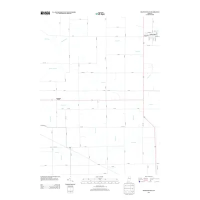
2013 Map of Francesville
USGS Topo · Published 2013About this map
Francesville anchors the northeast corner of this Pulaski County landscape, where a dense grid of town streets like W Gordon St and S Market St meets the expansive agricultural reaches of northern Indiana. The territory is defined by an extensive network of drainage systems, including Ryan Ditch, Pelsy Ditch, and the Makeever Huff Ditch, which were engineered to manage the low-lying terrain of the Kankakee River basin. Small rural hubs such as Hanging Grove and Lee appear as quiet intersections, connected by a strictly rectilinear road network that follows section lines across the prairie.
Find a feature on this map
76 named features on this map. Tap any name to fly to it.
Don’t see what you’re looking for? This feature index may not catch every label — zoom into the map to look around manually.
Map Details
Editions of this 2013 Francesville Map
This is the sole edition of this map. No revisions or reprints were ever made.
Other maps of this area

1953 · Chicago
USGS Topo · 1:250,000

1953 · Danville
USGS Topo · 1:250,000

1955 · Danville
USGS Topo · 1:250,000

1956 · Danville
USGS Topo · 1:250,000

1957 · Chicago
USGS Topo · 1:250,000

1962 · Monon NE
USGS Topo · 1:24,000

1962 · Monon
USGS Topo · 1:24,000

1962 · Monticello North
USGS Topo · 1:24,000

1962 · Medaryville
USGS Topo · 1:24,000

1962 · Gifford
USGS Topo · 1:24,000