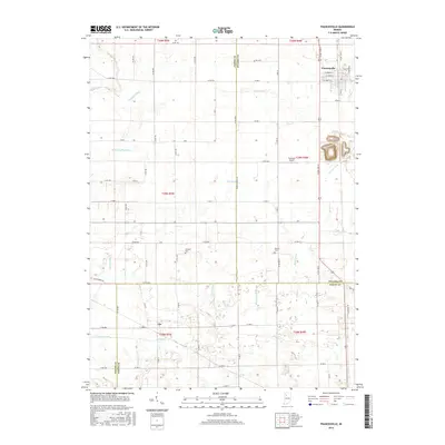
2016 Map of Francesville
USGS Topo · Published 2016About this map
Francesville serves as the primary hub in this corner of Indiana, where the gridiron streets of the town center contrast with the expansive agricultural layout of the surrounding territory. This landscape is defined by an extensive drainage network, where engineered waterways like Makeever Huff Ditch, Pelsy Ditch, and Hill Ditch have fundamentally reshaped the prairie to support local farming. The movement of water is central to the area's development, with Slough Creek and numerous ditches cutting across the section lines of the Public Land Survey System.
Find a feature on this map
75 named features on this map. Tap any name to fly to it.
Don’t see what you’re looking for? This feature index may not catch every label — zoom into the map to look around manually.
Map Details
Editions of this 2016 Francesville Map
This is the sole edition of this map. No revisions or reprints were ever made.
Other maps of this area

1953 · Chicago
USGS Topo · 1:250,000

1953 · Danville
USGS Topo · 1:250,000

1955 · Danville
USGS Topo · 1:250,000

1956 · Danville
USGS Topo · 1:250,000

1957 · Chicago
USGS Topo · 1:250,000

1962 · Monon NE
USGS Topo · 1:24,000

1962 · Monon
USGS Topo · 1:24,000

1962 · Monticello North
USGS Topo · 1:24,000

1962 · Medaryville
USGS Topo · 1:24,000

1962 · Gifford
USGS Topo · 1:24,000