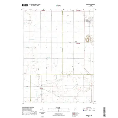
2019 Map of Francesville
USGS Topo · Published 2019About this map
Francesville sits in the northeastern corner of this landscape, a hub for agricultural transport where the grid of Co RD 1450 W meets the residential streets of W Yellow St and W Montgomery St. The terrain is characterized by an extensive network of drainage infrastructure, such as Jordan Ditch, Makeever Huff Ditch, and Slough Creek, which made large-scale farming possible in these low-lying plains. Further south, the settlement of Lee and the outskirts of Monon mark the lower boundary near the Pulaski and White County lines. Rural life is anchored by family and community landmarks, including the Osborne Cem and Nauvoo Cem, alongside local aviation sites like Culp Airport and Hallmark Airport. The map documents a strictly organized township and range system, where county roads follow Section lines through Jasper, Pulaski, and White Counties.
Find a feature on this map
72 named features on this map. Tap any name to fly to it.
Don’t see what you’re looking for? This feature index may not catch every label — zoom into the map to look around manually.
Map Details
Editions of this 2019 Francesville Map
This is the sole edition of this map. No revisions or reprints were ever made.
Other maps of this area

1953 · Chicago
USGS Topo · 1:250,000

1953 · Danville
USGS Topo · 1:250,000

1955 · Danville
USGS Topo · 1:250,000

1956 · Danville
USGS Topo · 1:250,000

1957 · Chicago
USGS Topo · 1:250,000

1962 · Monon NE
USGS Topo · 1:24,000

1962 · Monon
USGS Topo · 1:24,000

1962 · Monticello North
USGS Topo · 1:24,000

1962 · Medaryville
USGS Topo · 1:24,000

1962 · Gifford
USGS Topo · 1:24,000