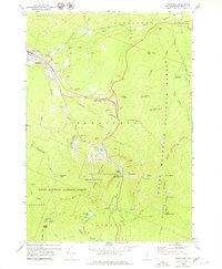
1967 Map of Franconia
USGS Topo · Published 1979About this map
Franconia Notch serves as the focal point for this survey, where the geological and cultural landmarks of the White Mountains converge. The village of Franconia sits in the northwest, home to Franconia College and the Elmwood Cem, while the landscape to the south is defined by the steep elevation of the White Mountain National Forest. The map documents the mid-century infrastructure supporting local recreation, including the Ski Lift on Cannon Mountain and the development of Franconia Notch State Park. Notable hiking landmarks like Lonesome Lake Hut, Greenleaf Hut, and the Appalachian Trail are detailed alongside the legendary Old Man of the Mountain silhouette overlooking Profile Lake. This record captures a moment when the mountain pass was transitioning into a modern recreation hub while maintaining the primitive network of paths like the Cascade Brook Trail and Garfield Ridge Trail.
Find a feature on this map
74 named features on this map. Tap any name to fly to it.
Don’t see what you’re looking for? This feature index may not catch every label — zoom into the map to look around manually.
Map Details
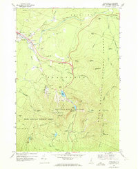
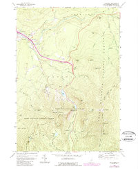
Editions of this 1967 Franconia Map
3 editions found
Other maps of this area

1900 · Whitefield
USGS Topo · 1:62,500

1929 · Moosilauke
USGS Topo · 1:62,500

1929 · Franconia
USGS Topo · 1:62,500

1931 · Littleton
USGS Topo · 1:62,500

1932 · Franconia
USGS Topo · 1:62,500

1932 · Littleton
USGS Topo · 1:48,000

1932 · Moosilauke
USGS Topo · 1:62,500

1935 · Littleton
USGS Topo · 1:62,500

1935 · Whitefield
USGS Topo · 1:48,000

1938 · Whitefield
USGS Topo · 1:62,500