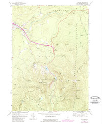
1967 Map of Franconia
USGS Topo · Published 1989About this map
Old Man of the Mountain overlooks the narrow notch in this detailed 1960s study, which highlights the recreation and conservation infrastructure of the White Mountain National Forest. The landscape is defined by the sharp rise of Mt Lafayette and Mt Lincoln along the Franconia Ridge, while the valley floor shows the early development of the interstate system with numbered interchanges near Franconia. The map records the mid-century layout of Franconia Notch State Park, including the Lafayette Campground and Echo Lake ski areas.
Find a feature on this map
75 named features on this map. Tap any name to fly to it.
Don’t see what you’re looking for? This feature index may not catch every label — zoom into the map to look around manually.
Map Details
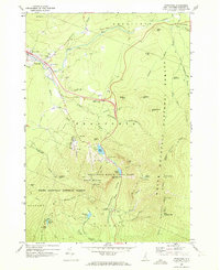
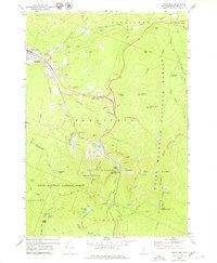
Editions of this 1967 Franconia Map
3 editions found
Other maps of this area

1900 · Whitefield
USGS Topo · 1:62,500

1929 · Moosilauke
USGS Topo · 1:62,500

1929 · Franconia
USGS Topo · 1:62,500

1931 · Littleton
USGS Topo · 1:62,500

1932 · Franconia
USGS Topo · 1:62,500

1932 · Littleton
USGS Topo · 1:48,000

1932 · Moosilauke
USGS Topo · 1:62,500

1935 · Littleton
USGS Topo · 1:62,500

1935 · Whitefield
USGS Topo · 1:48,000

1938 · Whitefield
USGS Topo · 1:62,500