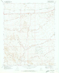
1970 Map of Franconia
USGS Topo · Published 1973About this map
The Atchison Topeka and Santa Fe railway cuts across this arid landscape, serving as the primary corridor through the northern desert floor. Located near the eastern edge of the Mohave Mountains, the small rail siding of Franconia and the nearby Powell represent the sparse settlement patterns of this Mojave Desert region. The terrain is defined by dry watercourses such as Sacramento Wash and Franconia Wash, which drain the surrounding foothills.
Find a feature on this map
21 named features on this map. Tap any name to fly to it.
Don’t see what you’re looking for? This feature index may not catch every label — zoom into the map to look around manually.
Map Details
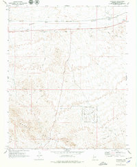
Editions of this 1970 Franconia Map
2 editions found
Other maps of this area

1903 · Needles
USGS Topo · 1:125,000

1904 · Needles Special
USGS Topo · 1:125,000

1927 · Yucca
USGS Topo · 1:62,500

1927 · Buck Mountains
USGS Topo · 1:62,500

1929 · Buck Mountains
USGS Topo · 1:62,500

1929 · Yucca
USGS Topo · 1:62,500

1943 · Topock
USGS Topo · 1:62,500

1950 · Topock
USGS Topo · 1:62,500

1951 · Topock
USGS Topo · 1:62,500

1954 · Needles
USGS Topo · 1:250,000