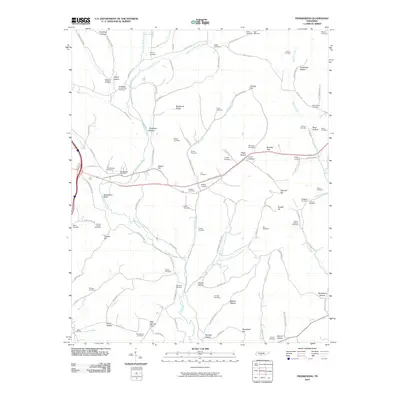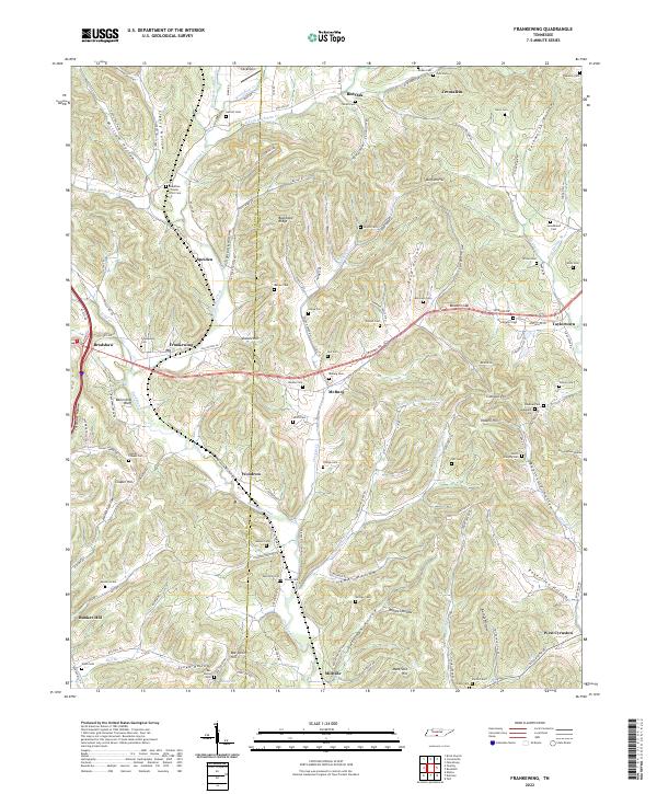
2022 Map of Frankewing
USGS Topo · Published 2022About this map
Frankewing and the surrounding borderlands of Giles and Lincoln Counties are defined by a complex network of ridges and deep drainage basins. The landscape is heavily marked by small family and community burial grounds, including Beasley Cem, Swinebroad Cem, and Rambo Cem, which are scattered among the many hollows like Bigtussle Hollow and Young Hollow. This dense concentration of cemeteries suggests a long-standing pattern of multi-generational settlement in the area's secluded valleys.
Find a feature on this map
132 named features on this map. Tap any name to fly to it.
Don’t see what you’re looking for? This feature index may not catch every label — zoom into the map to look around manually.
Map Details
Editions of this 2022 Frankewing Map
This is the sole edition of this map. No revisions or reprints were ever made.
Historical Maps of Taylortown Through Time
8 maps found