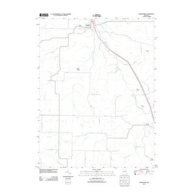
2012 Map of Frankford
USGS Topo · Published 2012About this map
The town of Frankford serves as the northern anchor of this landscape, situated at the junction of several local routes like Pike 50 and Pike 51. The surrounding rural territory is defined by a dense network of watercourses, including the southward-flowing Little Creek and the meandering Peno Creek which cuts across the eastern half of the map. This 2012 survey illustrates the enduring agricultural and genealogical layout of the region, where family and community heritage is preserved through numerous rural burial grounds such as Wright Cemetery, Biggs Cemetery, and Mount Pleasant Cemetery. The presence of the Martin School and the remote Mount Pisgah Cemetery in the southern reaches highlights the historical pattern of decentralized rural services that once supported the farming families along Clifty Fork and Sugar Creek.
Find a feature on this map
51 named features on this map. Tap any name to fly to it.
Don’t see what you’re looking for? This feature index may not catch every label — zoom into the map to look around manually.
Map Details
Editions of this 2012 Frankford Map
This is the sole edition of this map. No revisions or reprints were ever made.
Other maps of this area

1890 · Louisiana
USGS Topo · 1:125,000

1931 · Barry
USGS Topo · 1:62,500

1932 · Hannibal
USGS Topo · 1:62,500

1936 · Hannibal
USGS Topo · 1:48,000

1936 · Barry
USGS Topo · 1:48,000

1937 · Bowling Green
USGS Topo · 1:62,500

1940 · Bowling Green
USGS Topo · 1:62,500

1943 · Vandalia
USGS Topo · 1:62,500

1944 · Barry
USGS Topo · 1:62,500

1945 · Hannibal
USGS Topo · 1:62,500