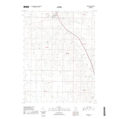
2017 Map of Frankford
USGS Topo · Published 2017About this map
Frankford serves as the primary hub of this Pike County landscape, where the street grid of Jasper St, King St, and Main St meets the rural reach of State Hwy B. The surrounding terrain is defined by a complex drainage system including Peno Creek and Little Peno Cr, carved into a topography that reveals notable geologic formations such as the DuChien Cave Natural Bridge. For family historians, the area is rich with ancestral landmarks, from Fairview Cem near the town center to more outlying sites like Mount Pleasant Cem and McCunes Cem. The map traces a long-established agricultural and transit corridor, where old county roads like Co Rd 44 and Pike 59 wind through the township divisions of t54n r4w and t55n r3w, illustrating the enduring spatial organization of Missouri's northern countryside.
Find a feature on this map
70 named features on this map. Tap any name to fly to it.
Don’t see what you’re looking for? This feature index may not catch every label — zoom into the map to look around manually.
Map Details
Editions of this 2017 Frankford Map
This is the sole edition of this map. No revisions or reprints were ever made.
Other maps of this area

1890 · Louisiana
USGS Topo · 1:125,000

1931 · Barry
USGS Topo · 1:62,500

1932 · Hannibal
USGS Topo · 1:62,500

1936 · Hannibal
USGS Topo · 1:48,000

1936 · Barry
USGS Topo · 1:48,000

1937 · Bowling Green
USGS Topo · 1:62,500

1940 · Bowling Green
USGS Topo · 1:62,500

1943 · Vandalia
USGS Topo · 1:62,500

1944 · Barry
USGS Topo · 1:62,500

1945 · Hannibal
USGS Topo · 1:62,500