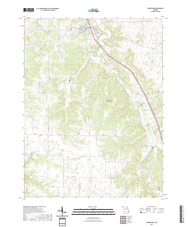
2021 Map of Frankford
USGS Topo · Published 2021About this map
Frankford sits at the northern edge of this Pike County landscape, where the local street grid of Main St and Water St transitions into a network of rural roads and rolling drainage basins. The area is defined by the winding course of Peno Creek and its many tributaries, including Little Peno Cr and Clifty Fork. A notable geological landmark, the DuChien Cave Natural Bridge, is located in the central portion of the quadrangle, illustrating the karst topography of this region. For those researching local lineages, the map identifies several well-distributed burial sites such as Fairview Cem near the town center and more remote locations like Mount Pisgah Cem and McCunes Cem, which often represent the only remaining physical markers of early family landholdings in the Missouri countryside.
Find a feature on this map
65 named features on this map. Tap any name to fly to it.
Don’t see what you’re looking for? This feature index may not catch every label — zoom into the map to look around manually.
Map Details
Editions of this 2021 Frankford Map
This is the sole edition of this map. No revisions or reprints were ever made.
Other maps of this area

1890 · Louisiana
USGS Topo · 1:125,000

1931 · Barry
USGS Topo · 1:62,500

1932 · Hannibal
USGS Topo · 1:62,500

1936 · Hannibal
USGS Topo · 1:48,000

1936 · Barry
USGS Topo · 1:48,000

1937 · Bowling Green
USGS Topo · 1:62,500

1940 · Bowling Green
USGS Topo · 1:62,500

1943 · Vandalia
USGS Topo · 1:62,500

1944 · Barry
USGS Topo · 1:62,500

1945 · Hannibal
USGS Topo · 1:62,500