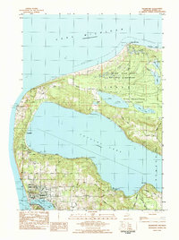
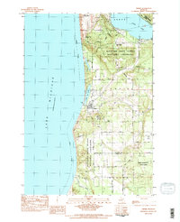
1983 Map of Frankfort
USGS Topo · Published 1984About this map
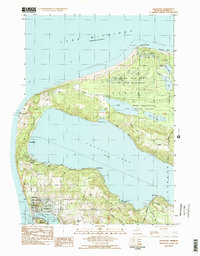
Point Betsie Lighthouse stands as a sentinel on the Lake Michigan shore, marking a landscape defined by the deep waters of Crystal Lake and the shifting sands of the Sleeping Bear Dunes National Lakeshore. The port of Frankfort serves as the focal point of the region, where Betsie Lake provides a sheltered harbor connected to the open lake. This industrial and transit hub is bisected by the Ann Arbor RR and Michigan Northern rail lines, which historically linked the Great Lakes shipping routes to the interior. Across the harbor, the village of Elberta sits near the Crystal Lake Outlet, while smaller lakeside communities like Crystallia and Pilgrim dot the western shore. The map also captures local civic life through features like the Crystal Lake Cem, Oliver Mem Hosp, and the City-County Airport, reflecting the established character of Benzie County in the early 1980s.
Find a feature on this map
39 named features on this map. Tap any name to fly to it.
Don’t see what you’re looking for? This feature index may not catch every label — zoom into the map to look around manually.
Map Details
Editions of this 1983 Frankfort Map
2 editions found
Other maps of this area

1954 · Manitowoc
USGS Topo · 1:250,000

1956 · Frankfort
USGS Topo · 1:62,500

1957 · Empire
USGS Topo · 1:62,500

1958 · Manitowoc
USGS Topo · 1:250,000

1976 · Frankfort SE
USGS Topo · 1:24,000

1976 · Frankfort NW
USGS Topo · 1:24,000

1976 · Frankfort SW
USGS Topo · 1:24,000
1976 · Frankfort NE
USGS Topo · 1:24,000
1983 · Beulah
USGS Topo · 1:25,000
1983 · Empire
USGS Topo · 1:25,000