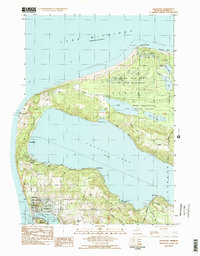
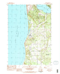
1983 Map of Frankfort
USGS Topo · Published 1984About this map
Point Betsie Lighthouse stands as a sentinel on the Lake Michigan coast, marking the entrance to a landscape dominated by the massive basin of Crystal Lake. The port of Frankfort and the neighboring community of Elberta are the primary hubs of activity, linked by the Ann Arbor RR which skirts the edge of Betsie Lake. The map reveals a transition from these established harbor towns to the protected lands of Sleeping Bear Dunes National Lakeshore to the north, where the Platte River flows toward Platte Bay.
Find a feature on this map
38 named features on this map. Tap any name to fly to it.
Don’t see what you’re looking for? This feature index may not catch every label — zoom into the map to look around manually.
Map Details
Editions of this 1983 Frankfort Map
2 editions found
Other maps of this area

1954 · Manitowoc
USGS Topo · 1:250,000

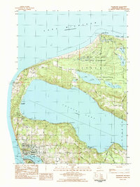
1956 · Frankfort
USGS Topo · 1:62,500

1957 · Empire
USGS Topo · 1:62,500

1958 · Manitowoc
USGS Topo · 1:250,000

1976 · Frankfort SE
USGS Topo · 1:24,000

1976 · Frankfort NW
USGS Topo · 1:24,000

1976 · Frankfort SW
USGS Topo · 1:24,000
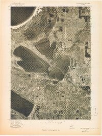
1976 · Frankfort NE
USGS Topo · 1:24,000
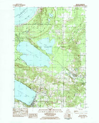
1983 · Beulah
USGS Topo · 1:25,000
1983 · Empire
USGS Topo · 1:25,000