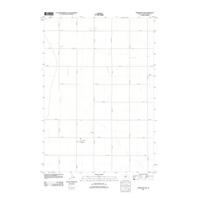
2012 Map of Frankfort SW
USGS Topo · Published 2012About this map
Crandon anchors this agricultural landscape in Spink County, situated within a strictly organized grid of sectional roads typical of the Great Plains. The small settlement is defined by the intersection of Main St, Front, and Lincoln Rd, reflecting a modest center of commerce or community life for the surrounding farmstead network. A short distance to the north, the Crandon Cem provides a primary point of interest for genealogists and local historians, representing the long-standing family ties of this rural township. The terrain is characterized by subtle drainage patterns and small depressions, with the transportation network dominated by numerical routes like 387th Ave and 180th St, though a few named thoroughfares like Lodi Dr break the rural pattern near the eastern boundary.
Find a feature on this map
20 named features on this map. Tap any name to fly to it.
Don’t see what you’re looking for? This feature index may not catch every label — zoom into the map to look around manually.
Map Details
Editions of this 2012 Frankfort SW Map
This is the sole edition of this map. No revisions or reprints were ever made.
Other maps of this area

1895 · Byron
USGS Topo · 1:125,000

1899 · Redfield
USGS Topo · 1:125,000

1953 · Frankfort
USGS Topo · 1:24,000

1953 · Redfield North
USGS Topo · 1:24,000

1953 · Ashton
USGS Topo · 1:24,000

1953 · Huron
USGS Topo · 1:250,000

1954 · Huron
USGS Topo · 1:250,000

1956 · Glendale Colony
USGS Topo · 1:24,000

1956 · Spink Colony
USGS Topo · 1:24,000

1966 · Redfield South
USGS Topo · 1:24,000