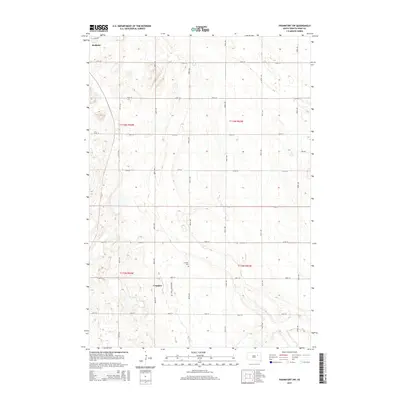
2015 Map of Frankfort SW
USGS Topo · Published 2015About this map
The agrarian landscape of Spink County is captured in this 2015 survey, where the township grid system of the Great Plains is meticulously defined by a network of rural roads. The northern edge of Redfield reaches into the top of the frame, but the primary focus is on the open countryside to the south, where the small settlement of Crandon serves as a local landmark. A notable site for genealogists and local historians is the Crandon Cem, located north of the settlement along Crandon Rd. The map illustrates the persistent structure of the Public Land Survey System, with boundaries such as t116n r64w and t115n r63w dividing the prairie into large agricultural sections. This survey provides a precise view of the rural infrastructure at the start of the 21st century, recorded just before the 2014 NAIP imagery was updated.
Find a feature on this map
24 named features on this map. Tap any name to fly to it.
Don’t see what you’re looking for? This feature index may not catch every label — zoom into the map to look around manually.
Map Details
Editions of this 2015 Frankfort SW Map
This is the sole edition of this map. No revisions or reprints were ever made.
Other maps of this area

1895 · Byron
USGS Topo · 1:125,000

1899 · Redfield
USGS Topo · 1:125,000

1953 · Frankfort
USGS Topo · 1:24,000

1953 · Redfield North
USGS Topo · 1:24,000

1953 · Ashton
USGS Topo · 1:24,000

1953 · Huron
USGS Topo · 1:250,000

1954 · Huron
USGS Topo · 1:250,000

1956 · Glendale Colony
USGS Topo · 1:24,000

1956 · Spink Colony
USGS Topo · 1:24,000

1966 · Redfield South
USGS Topo · 1:24,000