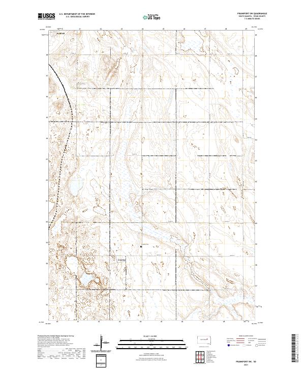
2021 Map of Frankfort SW
USGS Topo · Published 2021About this map
The prairie landscape of Spink County is dominated by the agricultural grid and the small settlement of Crandon. This area reflects the late-twentieth and early-twenty-first-century character of South Dakota's glaciated plains, where the land is organized into vast square sections bounded by gravel roads like 387th Ave and Co Rd 22. A notable focal point for local history and genealogy is the Crandon Cem, located just north of the village. The southern edge of Redfield barely enters the frame at the top left, while the rest of the sheet is defined by numerous prairie potholes and wetlands that punctuate the farmland. The network of section-line roads, including 391st Ave and 174th St, illustrates the enduring structure of the Public Land Survey System that has governed this region since pioneer settlement.
Find a feature on this map
20 named features on this map. Tap any name to fly to it.
Don’t see what you’re looking for? This feature index may not catch every label — zoom into the map to look around manually.
Map Details
Editions of this 2021 Frankfort SW Map
This is the sole edition of this map. No revisions or reprints were ever made.
Other maps of this area

1895 · Byron
USGS Topo · 1:125,000

1899 · Redfield
USGS Topo · 1:125,000

1953 · Frankfort
USGS Topo · 1:24,000

1953 · Redfield North
USGS Topo · 1:24,000

1953 · Ashton
USGS Topo · 1:24,000

1953 · Huron
USGS Topo · 1:250,000

1954 · Huron
USGS Topo · 1:250,000

1956 · Glendale Colony
USGS Topo · 1:24,000

1956 · Spink Colony
USGS Topo · 1:24,000

1966 · Redfield South
USGS Topo · 1:24,000