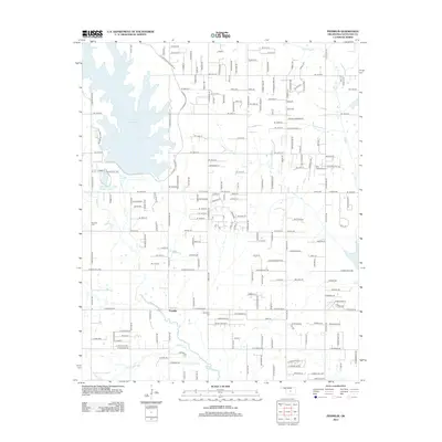
2013 Map of Franklin
USGS Topo · Published 2013About this map
The waters of Stanley Draper Lake dominate the northwestern corner of this landscape, its irregular shoreline reaching toward the small community of Franklin. This 2013 survey illustrates the expanding residential grid of the Oklahoma City periphery, where numbered streets and residential lanes intersect older natural features like the Little River and Rock Cr. Significant local landmarks include the Twin Lakes Airport and industrial utility sites such as the SW Oklahoma City Sludge Lagoon and Water Plant Rd. For genealogists and local historians, the map provides precise locations for the Fairview Cemetery near W Elm Creek and the Blackburn Cemetery further south, grounding family histories in the specific geography of Cleveland County during the early 21st century.
Find a feature on this map
51 named features on this map. Tap any name to fly to it.
Don’t see what you’re looking for? This feature index may not catch every label — zoom into the map to look around manually.
Map Details
Editions of this 2013 Franklin Map
This is the sole edition of this map. No revisions or reprints were ever made.
Other maps of this area

1892 · Moore
USGS Topo · 1:62,500

1893 · Norman
USGS Topo · 1:62,500

1898 · Purcell
USGS Topo · 1:125,000

1910 · McComb
USGS Topo · 1:62,500

1925 · Norman NO 2
USGS Topo · 1:24,000

1930 · McLoud
USGS Topo · 1:62,500

1934 · Crutcho Creek
USGS Topo · 1:24,000

1934 · Moore
USGS Topo · 1:62,500

1936 · Norman
USGS Topo · 1:62,500

1938 · Moore
USGS Topo · 1:62,500