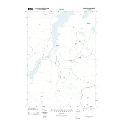
2013 Map of Franklin Falls
USGS Topo · Published 2013About this map
Union Falls Pond and the waters of Franklin Falls Pond dominate this portion of the Adirondack Park Preserve, where the Saranac River's drainage is punctuated by historic mountain peaks and small settlements. The small communities of Franklin Falls, Forestdale, and West Kilns are connected by a network of rural routes such as Plank Rd and Forestdale Rd, reflecting the area's timber and charcoal-burning heritage. Genealogists can identify family connections at Union Cem and Goodspeed Cem, while topography enthusiasts will find a sequence of distinct summits including First Burnt Hill, Second Burnt Hill, and Third Burnt Hill. The map meticulously details the rugged elevation changes from Esther Mtn in the south to South Ridge and Gilpin Hill in the north.
Find a feature on this map
53 named features on this map. Tap any name to fly to it.
Don’t see what you’re looking for? This feature index may not catch every label — zoom into the map to look around manually.
Map Details
Editions of this 2013 Franklin Falls Map
This is the sole edition of this map. No revisions or reprints were ever made.
Other maps of this area

1896 · Lake Placid
USGS Topo · 1:62,500

1898 · Lake Placid
USGS Topo · 1:62,500

1902 · Saranac
USGS Topo · 1:62,500

1904 · Saranac
USGS Topo · 1:62,500

1906 · Loon Lake
USGS Topo · 1:62,500

1908 · Loon Lake
USGS Topo · 1:62,500

1911 · Lyon Mountain
USGS Topo · 1:62,500

1913 · Lyon Mountain
USGS Topo · 1:62,500

1931 · Lyon Mountain
USGS Topo · 1:62,500

1948 · Ogdensburg
USGS Topo · 1:250,000