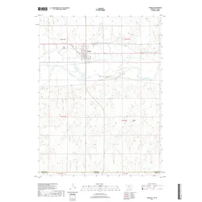
2017 Map of Franklin
USGS Topo · Published 2017About this map
The Republican River winds through this Nebraska landscape, defining the agricultural character of Franklin. In the northern portion of the map, the town is laid out in a grid of numbered avenues and named streets such as Q St and 15th Ave. The Franklin Canal runs east from the town, illustrating the area's reliance on water management for prairie farming. Local history is anchored at Greenwood Cem and the Center Creek Field aviation site. To the south, the terrain rises toward Lookout Mtn near the Nebraska-Kansas border, where the drainage patterns of Coon Cr and Reams Cr feed into several small water bodies, including Sindt Reservoir and Copley Reservoir. The map captures the transition from the river valley's settled blocks to the more open, creek-carved lands of the state line.
Find a feature on this map
63 named features on this map. Tap any name to fly to it.
Don’t see what you’re looking for? This feature index may not catch every label — zoom into the map to look around manually.
Map Details
Editions of this 2017 Franklin Map
This is the sole edition of this map. No revisions or reprints were ever made.
Other maps of this area

1893 · Smith Center
USGS Topo · 1:125,000

1893 · Phillipsburg
USGS Topo · 1:125,000

1896 · Holdrege
USGS Topo · 1:125,000

1897 · Red Cloud
USGS Topo · 1:125,000

1955 · Grand Island
USGS Topo · 1:250,000

1955 · Beloit
USGS Topo · 1:250,000

1957 · Grand Island
USGS Topo · 1:250,000

1958 · Grand Island
USGS Topo · 1:250,000

1959 · Beloit
USGS Topo · 1:250,000

1973 · Kensington NE
USGS Topo · 1:24,000