
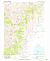
1968 Map of Franklin Lake NE
USGS Topo · Published 1971About this map
The Ruby Mountains dominate the western edge of this High Desert landscape, where the Humboldt National Forest meets the arid expanse of the basin. This survey illustrates a complex water management system in a challenging environment, featuring an Aqueduct that channels runoff from peaks like Myers Creek and Battle Creek. Below the mountain front, human activity is marked by the Smith Ranch and the Indian Village settlement, positioned where the rugged slopes give way to the floor of the valley.
Find a feature on this map
14 named features on this map. Tap any name to fly to it.
Don’t see what you’re looking for? This feature index may not catch every label — zoom into the map to look around manually.
Map Details
Editions of this 1968 Franklin Lake NE Map
This is the sole edition of this map. No revisions or reprints were ever made.
Other maps of this area

1935 · Halleck
USGS Topo · 1:125,000

1955 · Elko
USGS Topo · 1:250,000

1958 · Elko
USGS Topo · 1:250,000

1962 · Elko
USGS Topo · 1:250,000

1962 · Lamoille
USGS Topo · 1:62,500

1965 · Elko
USGS Topo · 1:250,000

1968 · Franklin Lake SE
USGS Topo · 1:24,000

1968 · Franklin Lake SW
USGS Topo · 1:24,000
1969 · Franklin Lake NW
USGS Topo · 1:24,000

1984 · West of Delcer Buttes
USGS Topo · 1:24,000