
1968 Map of Franklin Lake SW
USGS Topo · Published 1971About this map
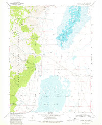
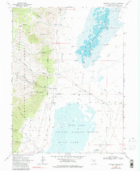
Humboldt National Forest dominates the western landscape of this 1968 survey, where the Ruby Mountains rise sharply above the high desert floor. The map documents the transition from mountain canyons like Smith Canyon and Longhair Canyon to the eastern alluvial plains. A network of jeep trails and a dedicated Forest Road provide access through Harrison Pass, a critical topographic link between the peaks and the valley below. Resource extraction is evident through several noted mines, including the Star Mine.
Find a feature on this map
34 named features on this map. Tap any name to fly to it.
Don’t see what you’re looking for? This feature index may not catch every label — zoom into the map to look around manually.
Map Details
Editions of this 1968 Franklin Lake SW Map
3 editions found
Other maps of this area

1934 · Jiggs
USGS Topo · 1:125,000

1937 · Jiggs
USGS Topo · 1:125,000

1955 · Elko
USGS Topo · 1:250,000

1958 · Elko
USGS Topo · 1:250,000

1959 · Jiggs
USGS Topo · 1:62,500

1959 · Sherman Mtn
USGS Topo · 1:62,500

1962 · Elko
USGS Topo · 1:250,000

1965 · Elko
USGS Topo · 1:250,000

1968 · Franklin Lake SE
USGS Topo · 1:24,000

1968 · Franklin Lake NE
USGS Topo · 1:24,000