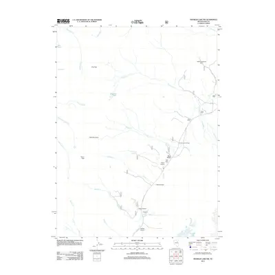
2012 Map of Franklin Lake NW
USGS Topo · Published 2012About this map
Ruby Mountains high country dominates this corner of Elko County, where steep drainages and canyons define the eastern slopes. A network of ranching operations including Wines Ranch, Ward Ranch, and Rock House Ranch follow the water sources along the mountain's edge. The presence of Indian Village and the Indian Graveyard Basin near the northern boundary suggests a long history of habitation in this basin landscape.
Find a feature on this map
35 named features on this map. Tap any name to fly to it.
Don’t see what you’re looking for? This feature index may not catch every label — zoom into the map to look around manually.
Map Details
Editions of this 2012 Franklin Lake NW Map
This is the sole edition of this map. No revisions or reprints were ever made.
Other maps of this area

1934 · Jiggs
USGS Topo · 1:125,000

1935 · Halleck
USGS Topo · 1:125,000

1937 · Jiggs
USGS Topo · 1:125,000

1955 · Elko
USGS Topo · 1:250,000

1958 · Elko
USGS Topo · 1:250,000

1959 · Jiggs
USGS Topo · 1:62,500

1962 · Elko
USGS Topo · 1:250,000

1962 · Lee
USGS Topo · 1:62,500

1962 · Lamoille
USGS Topo · 1:62,500

1965 · Elko
USGS Topo · 1:250,000