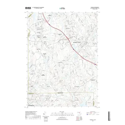
2018 Map of Franklin
USGS Topo · Published 2018About this map
Franklin Town and Bellingham serve as the primary hubs in this late-2010s survey, illustrating a densely populated corridor along the Massachusetts and Rhode Island border. The landscape is defined by the winding Charles River and numerous ponds like Crystal Lake and Uncas Pond, which historically fueled the region's industry and today anchor its residential expansion. Genealogists will find a wealth of burial sites, from the centrally located Bellingham Center Cem to the Elder Ballou Meeting House Cem near the state line.
Find a feature on this map
98 named features on this map. Tap any name to fly to it.
Don’t see what you’re looking for? This feature index may not catch every label — zoom into the map to look around manually.
Map Details
Editions of this 2018 Franklin Map
This is the sole edition of this map. No revisions or reprints were ever made.
Other maps of this area

1886 · Blackstone
USGS Topo · 1:62,500

1887 · Franklin
USGS Topo · 1:62,500

1887 · Providence
USGS Topo · 1:62,500

1889 · Providence
USGS Topo · 1:62,500

1889 · Blackstone
USGS Topo · 1:62,500

1889 · Franklin
USGS Topo · 1:62,500

1889 · Burrillville
USGS Topo · 1:62,500

1893 · Franklin
USGS Topo · 1:62,500

1893 · Blackstone
USGS Topo · 1:62,500

1894 · Burrillville
USGS Topo · 1:62,500