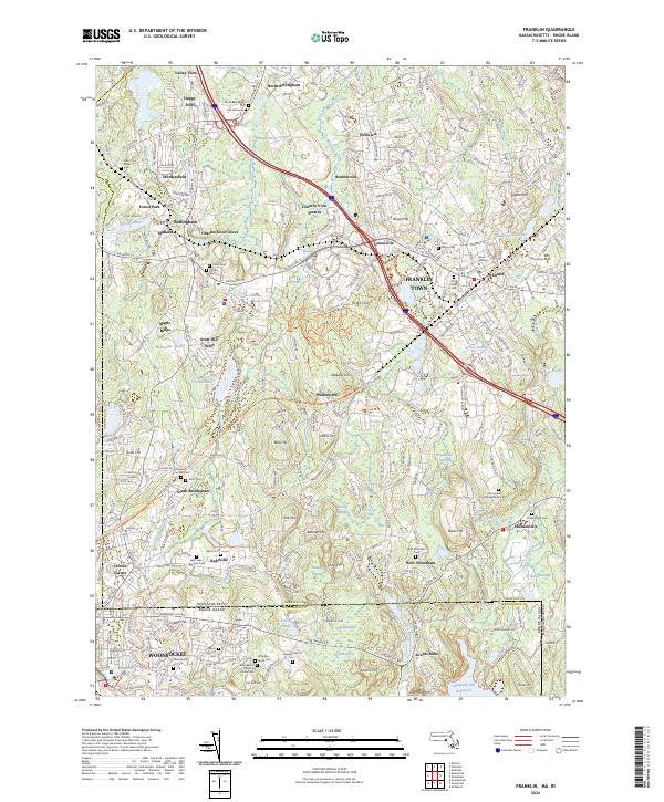
2024 Map of Franklin
USGS Topo · Published 2024About this map
Franklin Town and the northern reaches of Woonsocket anchor this study of the Massachusetts and Rhode Island borderlands. The landscape is defined by the legacy of early New England settlement, marked by numerous small burial grounds and family plots such as the Zebina Cook Lot and the Jillson Burial Lot Cem. The presence of the Elder Ballou Meeting House Cem and Dean College highlights the area's deep-rooted educational and religious foundations.
Find a feature on this map
107 named features on this map. Tap any name to fly to it.
Don’t see what you’re looking for? This feature index may not catch every label — zoom into the map to look around manually.
Map Details
Editions of this 2024 Franklin Map
This is the sole edition of this map. No revisions or reprints were ever made.
Other maps of this area

1886 · Blackstone
USGS Topo · 1:62,500

1887 · Franklin
USGS Topo · 1:62,500

1887 · Providence
USGS Topo · 1:62,500

1889 · Providence
USGS Topo · 1:62,500

1889 · Blackstone
USGS Topo · 1:62,500

1889 · Franklin
USGS Topo · 1:62,500

1889 · Burrillville
USGS Topo · 1:62,500

1893 · Franklin
USGS Topo · 1:62,500

1893 · Blackstone
USGS Topo · 1:62,500

1894 · Burrillville
USGS Topo · 1:62,500