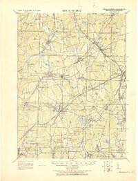
1919 Map of Franklin
USGS Topo · Published 1919About this map
The Charles River and the NY NH & H RR define the industrial and agricultural landscape of this Norfolk County region shortly after the First World War. This tactical survey, updated by the Corps of Engineers, reveals a dense network of small mill towns and crossroads settlements clustered around water power and rail connections. From the textile-producing hub at Franklin to the rural expanses of Sherborn and Dover, the map captures the transition from a nineteenth-century village economy to a more integrated industrial corridor.
Find a feature on this map
100 named features on this map. Tap any name to fly to it.
Don’t see what you’re looking for? This feature index may not catch every label — zoom into the map to look around manually.
Map Details
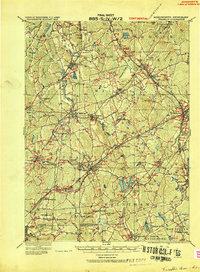
Editions of this 1919 Franklin Map
2 editions found
Other maps of this area

1885 · Taunton
USGS Topo · 1:62,500

1886 · Blackstone
USGS Topo · 1:62,500

1886 · Dedham
USGS Topo · 1:62,500

1886 · Framingham
USGS Topo · 1:62,500

1887 · Franklin
USGS Topo · 1:62,500

1887 · Providence
USGS Topo · 1:62,500

1887 · Marlboro
USGS Topo · 1:62,500

1888 · Taunton
USGS Topo · 1:62,500

1889 · Providence
USGS Topo · 1:62,500

1889 · Marlboro
USGS Topo · 1:62,500