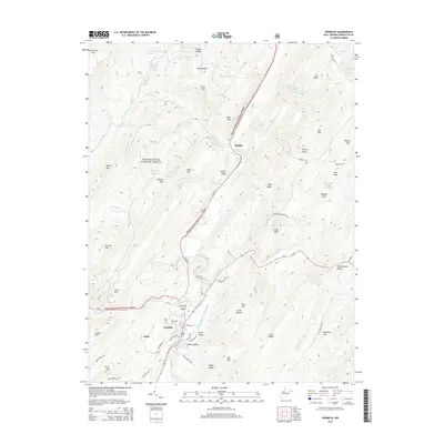
2014 Map of Franklin
USGS Topo · Published 2014About this map
Franklin serves as the focal point of this Pendleton County landscape, situated along the South Branch Potomac River where Us-33 and Us-220 intersect. The settlement pattern follows the narrow valley floors and hollows, with the community of Entry to the southwest and Ruddle to the north. The area is defined by its numerous natural water sources, including named springs like Smith Farm Spring, Peters Run Big Spring, and Hammer Spring, which likely supported early homesteads and agricultural efforts.
Find a feature on this map
76 named features on this map. Tap any name to fly to it.
Don’t see what you’re looking for? This feature index may not catch every label — zoom into the map to look around manually.
Map Details
Editions of this 2014 Franklin Map
This is the sole edition of this map. No revisions or reprints were ever made.
Other maps of this area

1892 · Franklin
USGS Topo · 1:125,000

1896 · Franklin
USGS Topo · 1:125,000

1920 · Petersburg
USGS Topo · 1:48,000

1920 · Onego
USGS Topo · 1:62,500

1921 · Petersburg
USGS Topo · 1:48,000

1921 · Onego
USGS Topo · 1:48,000

1922 · Onego
USGS Topo · 1:62,500

1922 · Fort Seybert
USGS Topo · 1:48,000

1922 · Petersburg
USGS Topo · 1:62,500

1922 · Circleville
USGS Topo · 1:62,500