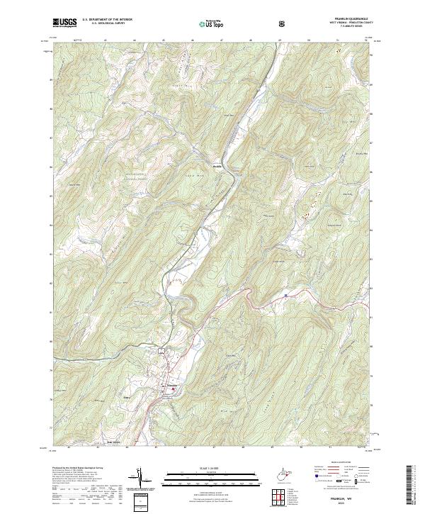
2023 Map of Franklin
USGS Topo · Published 2023About this map
The South Branch Potomac River carves a central path through this Pendleton County terrain, anchoring the town of Franklin and the administrative center at the Pendleton County Courthouse. Modern infrastructure follows the ancient river valley, with Us Rte 220 connecting the small settlements of Ruddle and Oak Grove. The landscape is defined by its deep vertical relief, moving from the heights of North Fork Mountain and the Monongahela National Forest down into the sheltered basin of Evick Hollow and the aptly named Troublesome Valley. Numerous water sources like Smith Farm Spring and Hammer Spring indicate a rural heritage where water access dictated the placement of homesteads. Topographic features such as Wilson Ridge and River Mtn wall in the river corridor, creating a tightly-knit settlement pattern that remains distinct from the surrounding wilderness.
Find a feature on this map
97 named features on this map. Tap any name to fly to it.
Don’t see what you’re looking for? This feature index may not catch every label — zoom into the map to look around manually.
Map Details
Editions of this 2023 Franklin Map
This is the sole edition of this map. No revisions or reprints were ever made.
Other maps of this area

1892 · Franklin
USGS Topo · 1:125,000

1896 · Franklin
USGS Topo · 1:125,000

1920 · Petersburg
USGS Topo · 1:48,000

1920 · Onego
USGS Topo · 1:62,500

1921 · Petersburg
USGS Topo · 1:48,000

1921 · Onego
USGS Topo · 1:48,000

1922 · Onego
USGS Topo · 1:62,500

1922 · Fort Seybert
USGS Topo · 1:48,000

1922 · Petersburg
USGS Topo · 1:62,500

1922 · Circleville
USGS Topo · 1:62,500