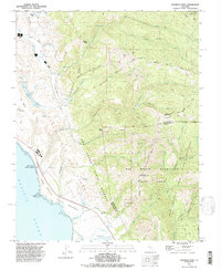
1991 Map of Franklin Point
USGS Topo · Published 1995About this map
The coastal shelf of the Pacific Ocean meets the densely wooded ridges of the Santa Cruz Mountains on this 1990s survey. Much of the landscape is dominated by public lands and reserves, including Big Basin Redwoods State Park and Butano State Park, which protect the area's ancient redwood groves and watersheds. Near the shore, Año Nuevo State Reserve encompasses the prominent Franklin Point, a coastline marked by rocks and the mouth of Año Nuevo Creek.
Find a feature on this map
49 named features on this map. Tap any name to fly to it.
Don’t see what you’re looking for? This feature index may not catch every label — zoom into the map to look around manually.
Map Details
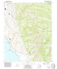
Editions of this 1991 Franklin Point Map
2 editions found
Other maps of this area
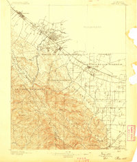
1897 · Palo Alto
USGS Topo · 1:62,500
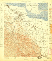
1899 · Palo Alto
USGS Topo · 1:62,500

1902 · Santa Cruz
USGS Topo · 1:125,000
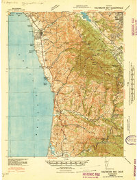
1940 · Halfmoon Bay
USGS Topo · 1:62,500
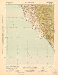
1940 · Ano Nuevo
USGS Topo · 1:62,500
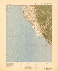
1941 · Ano Nuevo Pt.
USGS Topo · 1:62,500
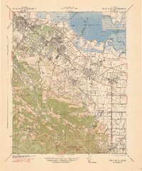
1941 · Palo Alto
USGS Topo · 1:62,500
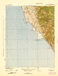
1942 · Ano Nuevo
USGS Topo · 1:62,500
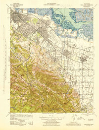
1943 · Palo Alto
USGS Topo · 1:62,500
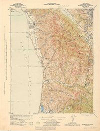
1943 · Halfmoon Bay
USGS Topo · 1:62,500