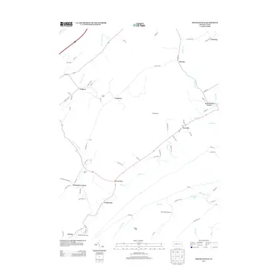
2013 Map of Franklinville
USGS Topo · Published 2013About this map
Pennsylvania Furnace and Huntingdon Furnace stand as markers of the region's deep industrial heritage, anchoring a landscape defined by small valley settlements and water-powered commerce. The map centers on the winding course of Spruce Cr, where Grazier Mill remains a notable landmark in the central valley. Between the ridges lies a distinctive area known as The Barrens, contrasting with the more densely settled corridors around Seven Stars and Franklinville. This 2013 survey illustrates the modern road network, including Marengo Rd and Dry Hollow Rd, while still clearly delineating the historical boundaries of rural communities such as Graysville, Marengo, and Colerain. To the south, recreational spaces like the Pine Hill Picnic Area and Colerain Picnic Area provide a contrast to the agricultural and former industrial sites found throughout the quadrangle.
Find a feature on this map
71 named features on this map. Tap any name to fly to it.
Don’t see what you’re looking for? This feature index may not catch every label — zoom into the map to look around manually.
Map Details
Editions of this 2013 Franklinville Map
This is the sole edition of this map. No revisions or reprints were ever made.
Other maps of this area

1908 · Bellefonte
USGS Topo · 1:62,500

1909 · Bellefonte
USGS Topo · 1:62,500

1919 · Menno
USGS Topo · 1:62,500

1922 · Philipsburg
USGS Topo · 1:62,500

1923 · Tyrone
USGS Topo · 1:62,500

1929 · Tyrone
USGS Topo · 1:48,000

1933 · Tyrone
USGS Topo · 1:62,500

1935 · Allensville
USGS Topo · 1:62,500

1938 · Allensville
USGS Topo · 1:62,500

1939 · Philipsburg
USGS Topo · 1:62,500
Featured Places
- Warriors Mark Township, PA
- Spruce Creek Township, PA
- Centre Line, PA
- Franklinville, Franklin Township
- Dungarvin, Warriors Mark Township